DDiscover AloneMapAbout

Settlement deserted in Coolaghmore

Settlement deserted, medieval
Computer-made picture that does not show Settlement deserted in CoolaghmoreNot a photo of this monument
Computer-made picture. It does not show this monument. · Report the wrong picture

The monument record does not grant public access. Check the route and ask the landowner before entering private land.

What do you know about this place?Tap to add a comment or ask a question

What you write will be public.

What is recorded here

In area of rough grazing with outcropping bedrock, with a stone revetted pond E of the church (KK030-004001-) and graveyard (KK030-004003-). Coolaghmore is located c. 4.5km S of Callan. The spelling of the placename has varied over the centuries (https://www.logainm.ie/en/26228), including Coilleagh (1363), Coylagh…

Read the whole record
In area of rough grazing with outcropping bedrock, with a stone revetted pond E of the church (KK030-004001-) and graveyard (KK030-004003-). Coolaghmore is located c. 4.5km S of Callan. The spelling of the placename has varied over the centuries (https://www.logainm.ie/en/26228), including Coilleagh (1363), Coylagh (c. 1450), Cwolaghmore (c. 1559), Cuolagh More (c. 1654) (Curtis 1934, vol. 2, 77; Cal. Lib. Rub. 21-c; F. 100; Simington 1931, vol. 1, 100) and there are also references to ‘Old Coylagh/le Oldquoillach/Oldcoyllagh’ in 1344, 1370 and c. 1418 respectively (Curtis 1932, vol. 1, 326 (deed 769); Curtis 1934, vol. 2, 115; Curtis 1935, vol. 3, 19) and ‘le Nywecoillagh and Nova Coillagh’ in 1375 and c. 1413 respectively (Curtis 1934, vol. 2, 150; ibid, 317). Many of these references relate to land in Coolaghmore and not to the town/borough itself. In the 14th century the borough was also referred to as ‘Sumertown’ and ‘Somerton’ (Curtis 1934, vol. 1, 73-4 (deed 92)). The relationship between Old Coolaghmore and New Coolaghmore is not known, though references to both are contemporary and suggest two settlements, though perhaps geographically they were quite close. In 1344, ‘Richard Somerton of Tibirken grants to Walter son of John son of Hugh fitz Randulf and Thomas son of John son of Hugh fitz Randulf eighteen acres arable and two wood in the tenement of Old Coylagh in Somerton near Callan in the field called “Fernewhille,” as measured and assigned…Given at Erleystown’ (Curtis 1932, vol. 1, 325-6 (deed 769)). A deed from 1363 confirms, ‘the liberties of Sumertoun near Callan’, by Gilbert Marshall, Earl of Pembroke. This deed refers to the same borough as, ‘Sumertoun, Sumertone and Somerton’ and ‘Coilagh and Coillagh’, the former being the newly acquired English name, which did not persist, and the latter being the pre-existing Irish name for the area. In the early 15th century, 1426, the rental of the Earl and Countess of Stafford from ‘the burgagery of Coillagh’ was 26s which compares well with the rent from ‘the burgagery of Jerpoint’ which was 12s, suggesting a thriving settlement. In the will of Thomas Butler, Earl of Ormond dated 1576, he leaves to Patrick Sherlock, for his lifetime, ‘my town of Cowlagh’. In 1580/81 an indenture between Thomas Butler, Earl of Ormond and ‘Nicholas Quemerford of Mogorban’, Co. Tipperary, grants, ‘the town commonly called Colaghmore, Co. Kilkenny, with the castle, meases, etc., belonging to the same, to have and hold to said Nicholas, etc., as Patrick Sherlok held the same, for 21 years at annual rent of 20l [pounds]’. The town/borough subsequently declined and the medieval settlement is no longer obvious. It is likely to have occupied the area in the vicinity of the church (KK030-004001-), where there are low earthen banks (H c. 0.5m), and probably continued southward into the present townland of Coolaghflags. The castle (KK030-004001-) is indicated on the Down Survey barony map of Kells SE of the church, though the precise location is unknown.

From the National Monuments Service (Archaeological Survey of Ireland) record KK030-004

Places near here

Photo credits
  • A.-K. D., Wikimedia Commons · CC BY-SA 4.0
  • Maker not stated on source page, www.pinterest.com
  • National Inventory of Architectural Heritage
  • Didier Descouens, Wikimedia Commons · CC BY-SA 4.0
  • kevin higgins, Wikimedia Commons · CC BY-SA 2.0
  • Maker not stated on source page, www.flickr.com
  • Willow, Wikimedia Commons · CC BY 2.5
  • Maker not stated on source page, www.alamy.com
  • Maker not stated on source page, tr.pinterest.com
  • Maker not stated on source page, br.pinterest.com
Holy well in CoolaghmoreHoly well · 45 yd

Explorer Tom Holy well in Coolaghmore had a dramatic scene last Tuesday when a pigeon landed on the stone and flew away with its…

Coolaghmore GraveyardGraveyard · 69 yd

Explorer Tom Coolaghmore Graveyard in Kilkenny is incredibly proud of its one particularly crooked stone that it has maintained for…
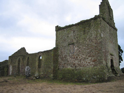
Coolaghflags Catholic ChapelChurch/chapel · 77 yd

Explorer Tom Coolaghflags Catholic Chapel is a mid-eighteenth-century ruin where a fiddler played all night until the stones finally…

Church (in Ruins)Church · 78 yd

Explorer Tom Church in Coolaghmore hosted one dance that went so far out of hand the floor collapsed. The ghosts are still…
Hawthorn94 yd

Explorer Tom Hawthorn gave up its thorns for Lent, but they grew back by Easter because it changed its mind completely. Now it’s…

Catholic Church of Our LadyChurch/chapel · 332 yd

Explorer Tom Catholic Church of Our Lady in Coolaghmore sits right on a crossroads where a local lad swears he invented the concept…
CastleCastle, unclassified · 1066 yd

Explorer Tom Castle (the second) in Coolaghmore has a bad poem written about it somewhere, probably in a dusty book. It’s just…

European ash1105 yd

Explorer Tom European ash has a very strong opinion that local sheep are just fancy, woolly mice that eat too much. The sheep agree…
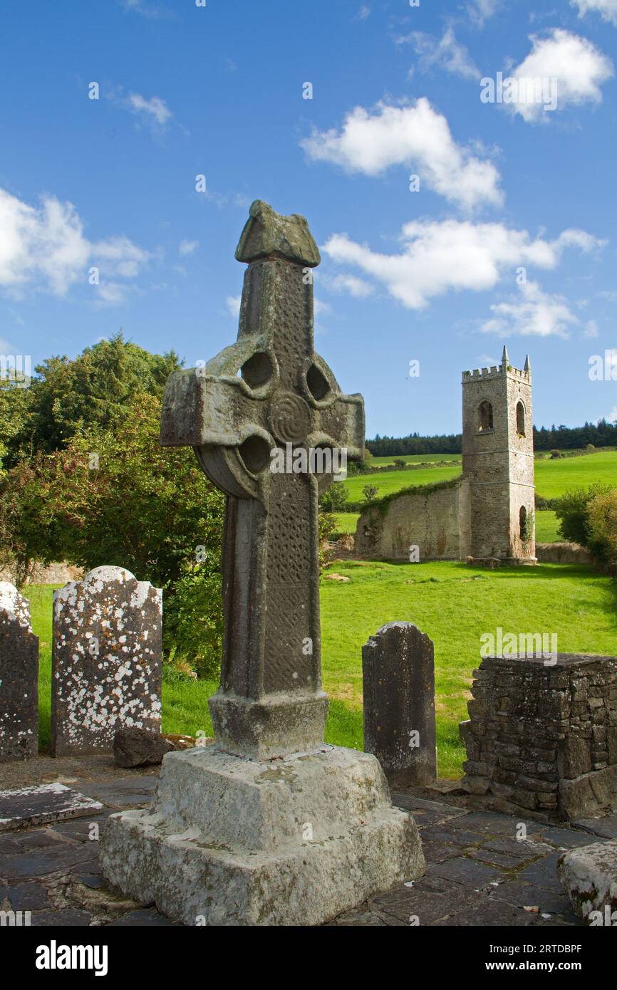
Graveyard in Kyle East,kyle WestGraveyard · 1138 yd

Explorer Tom Graveyard in Kyle East, Kyle West is currently being judged by the local sheep who think it looks like a very boring…

Holy well in Kyle East,kyle WestHoly well · 1138 yd

Explorer Tom Holy well in Kyle East means 'The Place Where You Trip Over Rocks' if you translate it badly. It was originally part of…

Church in Kyle East,kyle WestChurch · 1138 yd

Explorer Tom Kyle East and West church would tell you it was ploughed up for fun after a few pints. The location is a total mystery…

Castle (in ruins)Castle, unclassified · 2.2 mi

Explorer Tom Castle in Garryrickin would be a terrible history teacher because it forgets which townland it belongs to. It just…

More archaeology and monuments in County Kilkenny · All of County Kilkenny

Add to this placeAdd a picture Add a detailed tip Add a story

Explore the map1,095,414 places to discover

Next place · or swipeHoly well in Coolaghmore