What is recorded here
No unique place name, no exact event and no missing map. The facts point to an ordinary stone heap inside a rural boundary, not a hidden chamber or forgotten temple. A person may have gathered field stones there, reduced the working land and left a small ridge against the sky. The absence of a famous identity does not remove the human labour that shaped the ground.
On a S-facing slope and at the centre of rath (RO047-012001-). Gannon (1972) describes a semi-rectangular moss-covered heap of stones as a possible structure. It is not present now, and is unlikely to be an antiquity. Also, given the undisturbed appearance of the monument it is unlikely to have been removed.
Compiled by: Michael Moore
Date of upload: 24 August 2010
The monument record does not grant public access. Check the route and ask the landowner before entering private land.
- What survives
- Recorded monument
Places near here
 Carrowkeel FortFairy fort / earthen ringfort · 275 yd
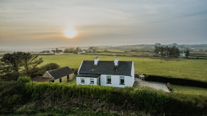 Embanked enclosureFairy fort / earthen ringfort · 442 yd
 RoadRoad, road/trackway · 1.7 mi
 Inchnaveague IslandIslet · 1.8 mi
 CastleCastle, unclassified · 1.9 mi
 InchnagowerIslet · 1.9 mi
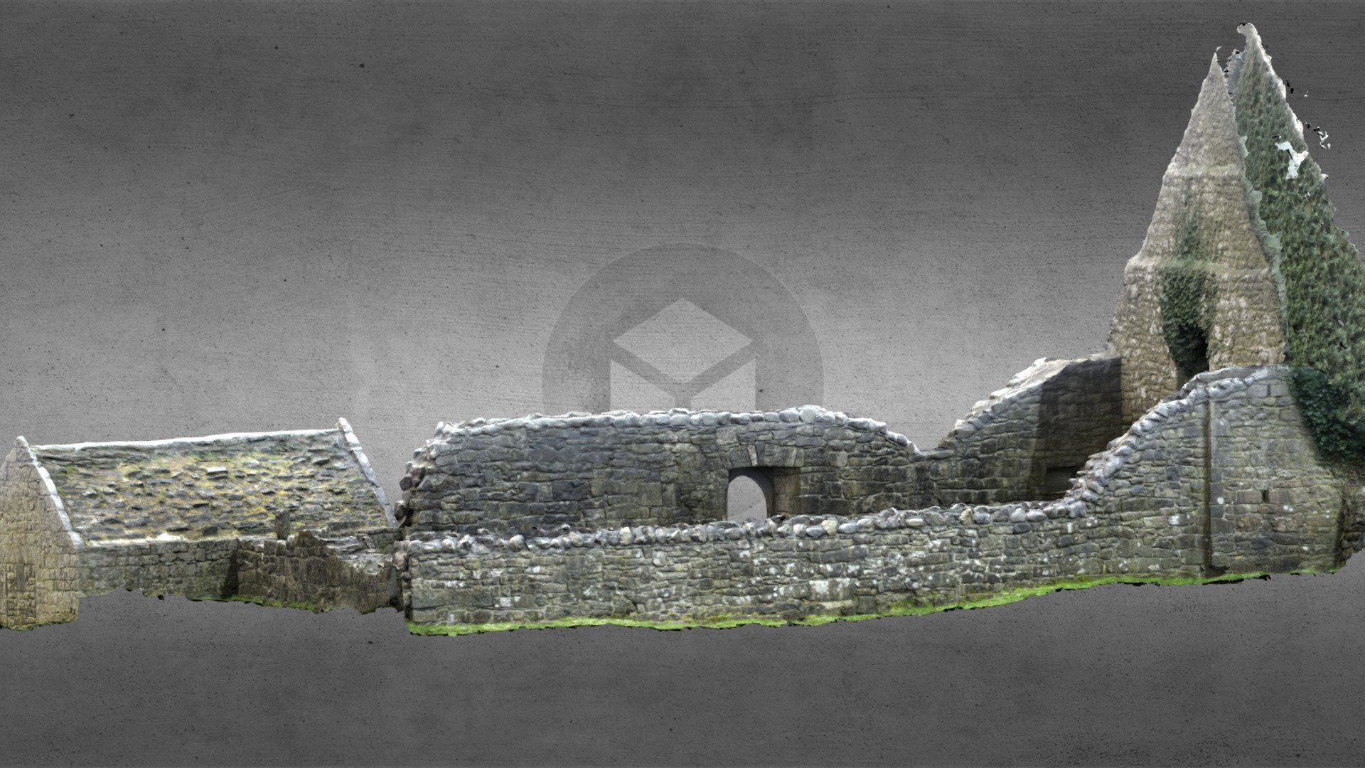 Church (in Ruins)Church · 2.0 mi
 Castle (Site of)Castle, unclassified · 4.3 mi
 Sheep HillMountain / peak · 4.8 mi
 LismoneyForest · 6.3 mi
 Aughrane WoodsForest · 6.6 mi
 Mount MaryMountain / peak · 9.7 mi