What is recorded here
Not inidcated is a shallow grass depression on the Two Mile Ridge where Davies recorded a small stone-ringed hollow in 1942. The ridge still holds several similar marks, suggesting a place where people lived, hid or tended animals rather than a single forgotten home.
In pasture, located on top of Twomilestone ridge. This is the approximate location of a hut site first recorded by Davies (1942, 100). It is one of several hut sites (see also DG103-057005-, DG103-059----, DG103-060----, DG107-004003-) he found on the ridge. He designated it as ‘hut k’ and described it as a ‘small hollow 13 ft. (c. 4m) across and less than a foot ( 0.3m) deep, apparently surrounded by a ring of stones and perhaps artificial; it may have been a pit-dwelling or something similar.’ It was published by the Donegal Survey (Lacy et al. 1983, 154, no. 922) as follows: ‘Internal diam. 5.83m. A circular area enclosed by a bank of clay and small stones .25m high destroyed on its S-SE sector. It is situated on the S side of Two Mile Ridge close to several other hut sites. (Davies site K).’ An inspection of the area was undertaken in 2015. At roughly the location shown on Davies’s map there is a shallow, subcircular grass-covered depression (6m NE−SW; 4m NW−SW). There is no visible evidence of an enclosing wall. Abutting it on the W side is a circular cropmark (diam. c. 4m), and c. 4m to SW is a cluster of three slight depressions or subcircular undulations (max. dims. c. 3-4m), none of which is defined by stones. It is unclear if any of these features represents the remnants of the hut site recorded by Davies.
Compiled by: Jane O'Shaughnessy
Date of upload: 5 September 2016
The monument record does not grant public access. Check the route and ask the landowner before entering private land.
- What survives
- Recorded monument
Places near here
 IndicatedCliff-edge fort · 116 yd
 Enclosure in ArdpattanEnclosure · 245 yd
 Church in ArdgillewChurch · 1178 yd
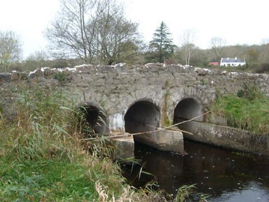 Tullymore Bridgebridge · 1601 yd
 HawthornHawthorn · 1.2 mi
 St Anne's Church GraveyardGraveyard · 2.3 mi
 RossnowlaghOfficial bathing water · 2.3 mi
 CastleCastle, unclassified · 2.3 mi
 Kilbarron Old Church GraveyardGraveyard · 2.5 mi
 Castle (Site of)Castle, unclassified · 2.7 mi
 Dark Cliffs at KilbarronPublicly named cliff or headland · 3.1 mi
 Wardtown StrandBeach / strand · 3.3 mi