What is recorded here
On a steep E-facing slope at the S end of the fields of the deserted settlement (RO006-103007-). Circular grass-covered area (int. diam. 21.7m N-S; 20.3m E-W) defined by a grass-covered stone spread (Wth 2.9-4m; int. H 0.03-0.6m; ext. H 0.1m S-W to 0.5m generally) separated by a berm (Wth 0.7-1.2m) from an outer stone spread (Wth 1.5-2.2m; ext. H 0.3-0.5m) which is incorporated into an element of the field system (RO006-103007-) W-E. There is an entrance (Wth 1.5m) through the inner feature at NNW with a small cairn (diam. 4m; H 0.4m) inside it. Cashel (RO006-103016-) is c. 50m to the N.
Compiled by: Michael Moore
Date of upload: 24 August 2010
The monument record does not grant public access. Check the route and ask the landowner before entering private land.
- What survives
- Recorded monument
Places near here
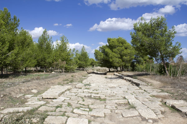 Ancient RoadRoad, road/trackway · 242 yd
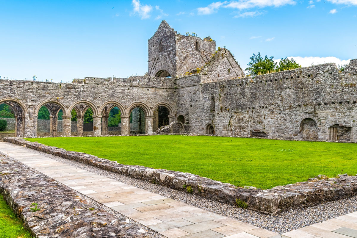 MonasteryReligious house, Augustinian, of Arrouaise nuns · 289 yd
 IndicatedSettlement deserted, medieval · 385 yd
 CaveMan-made underground passage · 447 yd
 Longford HillMountain / peak · 1.6 mi
 Horse-chestnutHorse-chestnut · 1.9 mi
 Lough Key Forest ParkWood · 2.0 mi
 Hughestown WoodForest · 2.0 mi
 Castle IslandIslet · 2.1 mi
 Green IslandIslet · 2.2 mi
 Moylung Castle (in ruins)Castle, unclassified · 2.4 mi
 Erris BayBay · 2.6 mi