What is recorded here
Situated on a NW-SE rise in gently undulating coastal pasture c. 30m SSE of an enclosure (SL013-026001-), and within an area defined at N and E by field boundaries (SL013-026002-). A low, sod-covered mound of stones was removed during land reclamation in 1994, exposing beneath it a circular spread (diam. c. 7m) of small to medium sized stones and burnt sandstone within a matrix of grey/brown soil. Thinly scattered throughout the stone spread were fragments of animal bones, including cattle and sheep, hazel nut shells, and sea shells. A fish bone and a bird bone were also noted. A denser concentration (3m NW−SE; 2m NE−SW) of sea shells, primarily limpets, with some periwinkles and mussels, was located in NE quadrant of the stone spread.
Compiled by: Patrick F. O'Donovan
Date of upload: 19 January 2011
The monument record does not grant public access. Check the route and ask the landowner before entering private land.
- What survives
- Recorded monument
Places near here
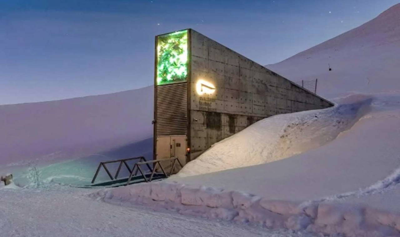 Enclosure in SkibbolecorraghEnclosure · 46 yd
 Derkmore PointHeadland · 394 yd
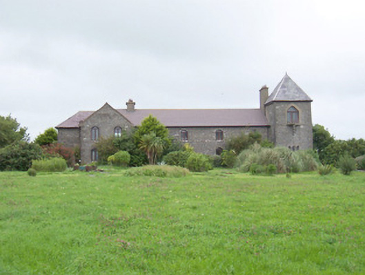 The Old Coastguard Stationcoastguard station · 506 yd
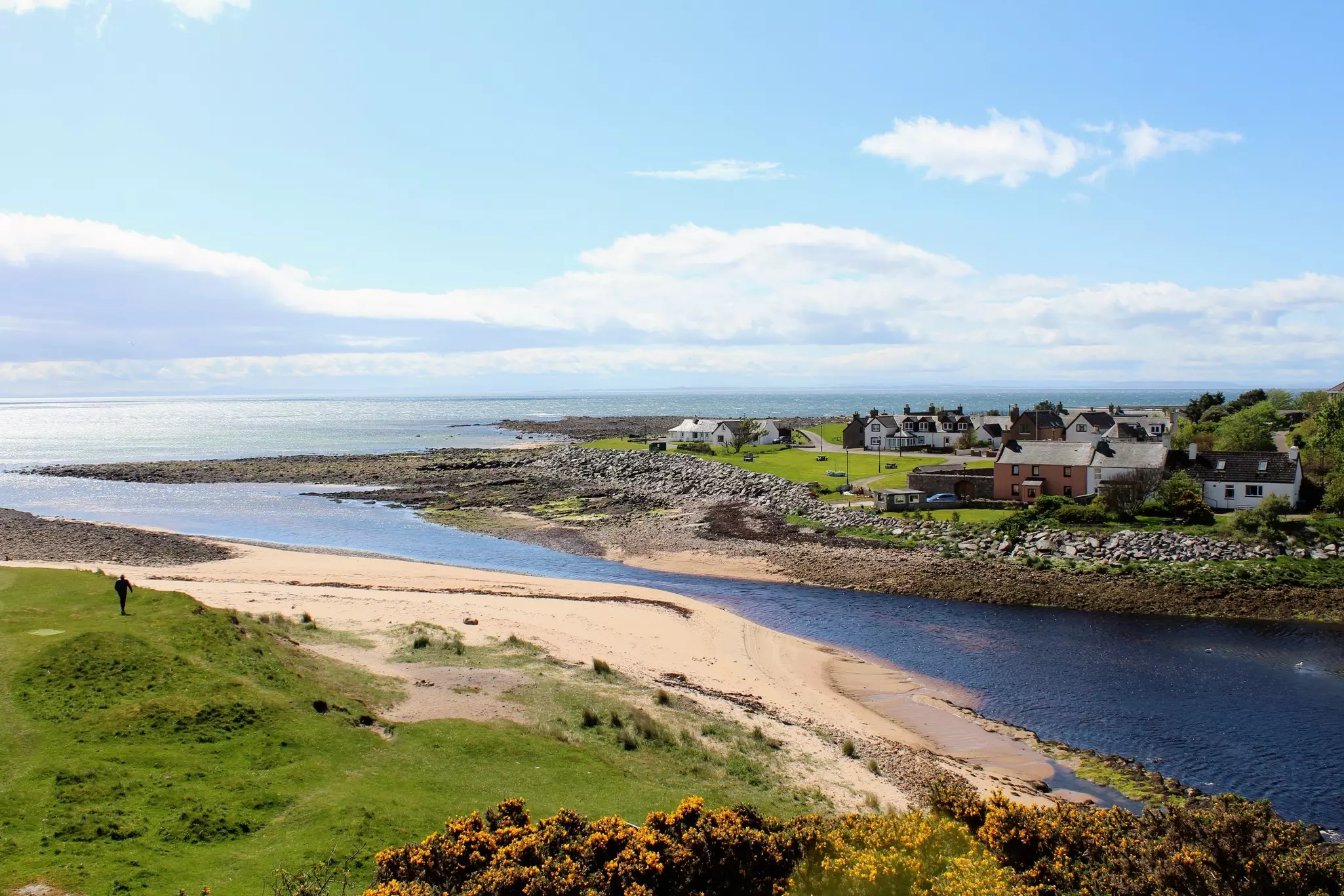 TobernasoolRitual site, holy/saint's stone · 572 yd
 Derk HouseOfficially recorded historic building · 1030 yd
 Bawn in CarrowbrickeenBawn · 1273 yd
 CastleCastle, ringwork · 1.7 mi
 Portavaud PointHeadland · 1.7 mi
 Strandhill BeachBeach / strand · 1.8 mi
 Lahanacappul IslandIslet · 2.0 mi
 CulleenamoreBeach / strand · 2.0 mi
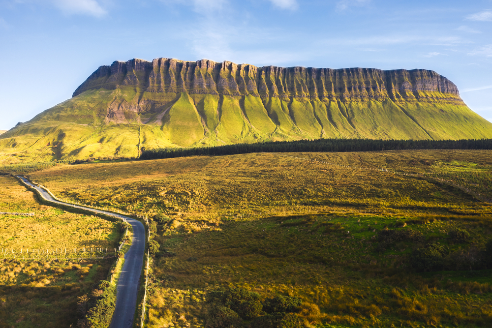 SuperHeritage attraction · 2.1 mi