
Places near here
Photo credits
- National Inventory of Architectural Heritage
- Willow, Wikimedia Commons · CC BY 2.5
- Kmcnamee, Wikimedia Commons · CC BY-SA 4.0
- JohnArmagh, Wikimedia Commons · CC BY-SA 3.0
- Eamonn McMunn / Sligo GAA (credit printed on photograph), www.sligogaa.ie
- Michael Murtagh, Geograph · CC BY-SA 2.0
- Oliver Dixon, Geograph · CC BY-SA 2.0
- Dieglop, Wikimedia Commons · CC BY-SA 4.0
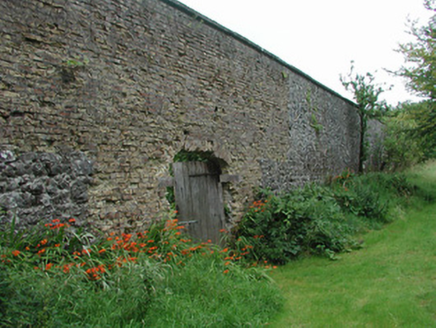 Temple HouseWalled garden · 1.3 mi
Explorer Tom Temple House is a walled garden trying too hard to look self-sufficient and not a bit fragile. It’s jealous of the…
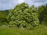 Elder1.4 mi
Explorer Tom Elder in County Sligo is haunted by a ghost who is far too lazy to even cross the road. He just sits on a branch…
 European ash1.4 mi
Explorer Tom European ash in County Sligo started because two lads bet that if it survived a storm, one had to buy drinks for a…
 Nace O'Dowd Park, Coolaney/Mullinabreena GAAGAA ground · 1.9 mi
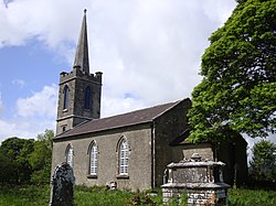 Saint Crumnathy's Cathedral (Achonry)Church/chapel · 2.3 mi
Explorer Tom Saint Crumnathy's Cathedral in Achonry is a simple Board of First Fruits church sitting on the site of a former…
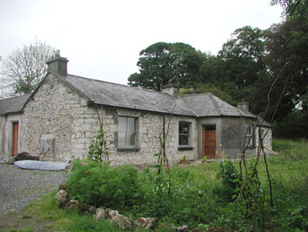 SomertonHouse · 2.4 mi
Explorer Tom Somerton in Rathbaun is having a bit of an identity crisis after its render got stripped off. It’s showing off its…
 Brother Walfrid/Corran Park, Ballymote GAAGAA ground · 3.9 mi
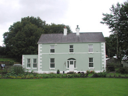 Quarryfield HouseHouse · 4.4 mi
Explorer Tom Quarryfield House in Quarryfield has strict rules for visitors: no touching the elegance, no questioning the…
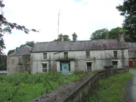 Knockalass HouseFarm house · 4.6 mi
Explorer Tom Knockalass House in Kilturra has a whimsical cottage outbuilding that looks like it’s laughing at your attempts to find…
 CrockaunsMountain / peak · 18 mi
Explorer Tom Crockauns bragged about surviving a storm so violent it rearranged its own topography and sent the local cows into a…
 Glencar IslandIslet · 19 mi
Explorer Tom Glencar Island in County Leitrim would complain to the council about the noise levels from the swans, claiming they’re…
 Glencar WaterfallVisitor information · 19 mi
Explorer Tom Glencar Waterfall in County Leitrim gave up sugar for Lent but ended up eating a whole wheel of cheese instead anyway.…
More archaeology and monuments in County Sligo · All of County Sligo

What do you know about this place?Tap to add a comment or ask a question