What is recorded here
On the SE margins of Enniscrone village, located in an expanse of damp, rush-grown pasture in the flat valley bottom of the Bellawaddy River. The field is bordered c. 100m to N of the mound by the river which opens into the sea c. 300m to NW. The E, S and W sides of the field are bordered by land drains. A roughly circular rise (c. 22m E–W; c. 23m N–S; H 1.7m at N, 1.5m at S) with a flattened top (c. 8m N–S, c. 8m E–W) and broadly sloping sides (Wth slope c. 9m). The sides have a somewhat more elongated slope to NW and SE, which gives the mound the appearance of being more oval than circular. It is likely that prior to the digging of the modern system of drainage ditches, this area constituted very wet land. It is possible that the mound represents the remains of some form of wetland habitation site or crannog.
Compiled by: Jane O'Shaughnessy
Date of upload: 31 December 2013
The monument record does not grant public access. Check the route and ask the landowner before entering private land.
- What survives
- Recorded monument
Places near here
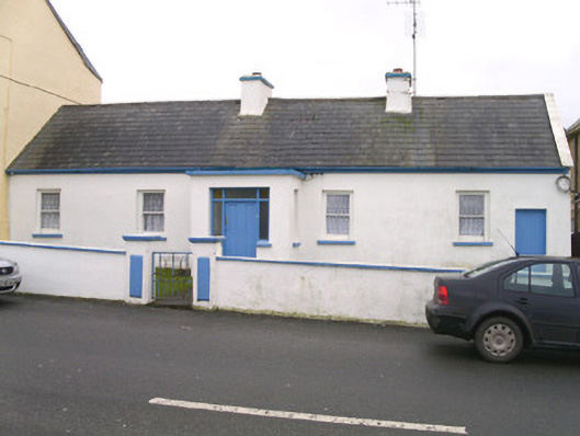 Saint Theresa'shouse · 425 yd
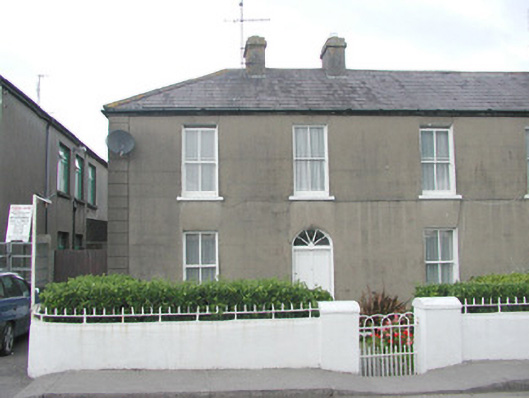 Lorettohouse · 605 yd
 The Black PigMemorial · 1016 yd
 Enclosure in MuckduffEnclosure · 1167 yd
 Grave of the Black PigArchaeological place · 1300 yd
 Wild Atlantic Way: Inishcrone PierVisitor information · 1301 yd
 Enniscrone BeachBeach / strand · 1357 yd
 IndicatedFairy fort / earthen ringfort · 1659 yd
 Horse IslandIslet · 2.3 mi
 Castle FirbisCastle, tower house · 2.4 mi
 Goose IslandIslet · 2.4 mi
 Rinnachurry PointHeadland · 2.6 mi