What is recorded here
Located in the garden of Carrowneden House. Not indicated on the 1837 OS 6-inch map. Included in the RMP (1995) as a possible enclosure on the basis of its depiction on the 1913 OS 6-inch map, where it is represented as a hachured arc (diam. c. 25m), curving NW–NE. It is evident as a terrace (H 1.1m) extending in an arc immediately to NNW of Carrowneden House. The house and yard buildings are constructed upon the platform defined by the terrace. It is very likely that this is a designed landscape feature associated with the house.
Compiled by: Patrick F. O'Donovan, Paul Walsh
Date of upload: 20 June 2013
The monument record does not grant public access. Check the route and ask the landowner before entering private land.
- What survives
- Recorded monument
Places near here
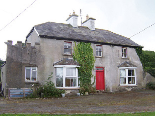 Meadowsidehouse · 135 yd
 IndicatedFairy fort / earthen ringfort · 310 yd
 ChapelChurch · 375 yd
 Enclosure in BallinteaneEnclosure · 743 yd
 Castle FirbisCastle, tower house · 1.4 mi
 Wild Atlantic Way: Inishcrone PierVisitor information · 1.9 mi
 Grave of the Black PigArchaeological place · 2.4 mi
 The Black PigMemorial · 2.7 mi
 Enniscrone BeachBeach / strand · 2.9 mi
 Rathlee HeadHeadland · 3.7 mi
 Horse IslandIslet · 4.4 mi
 CastleCastle, unclassified · 4.5 mi