Places near here
Photo credits
- National Inventory of Architectural Heritage
- Mick Garratt, Wikimedia Commons · CC BY-SA 2.0
- Kmcnamee, Wikimedia Commons · CC BY-SA 4.0
- Florentchevallier, Wikimedia Commons · CC BY-SA 4.0
- Golfing in Ireland; photographer not stated, Source publisher
- Robin Mais, Geograph · CC BY-SA 2.0
- Mike Searle, Geograph · CC BY-SA 2.0
- N Chadwick, Wikimedia Commons · CC BY-SA 2.0
- Didier Descouens, Wikimedia Commons · CC BY-SA 4.0
- Mick Garratt, Geograph · CC BY-SA 2.0
- Michael Dibb, Geograph · CC BY-SA 2.0
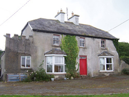 MeadowsideHouse · 427 yd
Explorer Tom Meadowside in Kilglass has a half-hipped roof that Saint Patrick would have called 'a bit much' and 'very Irish'. It’s…
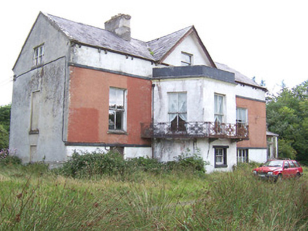 Kilglass HouseHouse · 1114 yd
Explorer Tom Kilglass House had a fox take charge of the kitchen last winter and it never gave up the position since. The cast-iron…
 St. Patrick's CemeteryCemetery · 1562 yd
Explorer Tom St. Patrick's Cemetery is bragging about surviving a storm so fierce it blew a cow into the sky, though I suspect that…
 Enniscrone/Kilglass GAA pitchGAA ground · 1679 yd
 Wild Atlantic Way: Inishcrone PierVisitor information · 2.0 mi
Explorer Tom Inishcrone Pier looks like it’s plotting an escape plan, possibly because it’s tired of being just a sign for people…
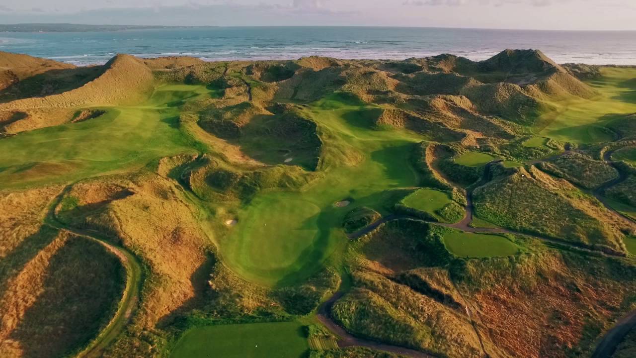 Enniscrone Golf ClubGolf course · 2.7 mi
 Enniscrone BeachBeach / strand · 3.0 mi
Explorer Tom Enniscrone Beach stretches for about five kilometres along Sligo's coast, with dunes at its back and the open bay in…
 TowerSignal tower · 3.8 mi
Explorer Tom Signal tower in Rathlee has a cannonball held up by a metal bar because gravity isn't enough for drama. Its celebrity…
 Rosserk AbbeyVisitor attraction · 5.4 mi
Explorer Tom Rosserk Abbey in Mayo has been hiding a scandal for centuries involving a monk who was absolutely brilliant at…
 Hawthorn5.6 mi
Explorer Tom Hawthorn was used as a hiding spot for smugglers who were trying to sneak a case of whiskey through its branches. It…
 Wild Atlantic Way: Easky PierVisitor information · 5.8 mi
Explorer Tom Easky Pier is out here braving the wild Atlantic while you’re probably wondering why your motorhome can’t park anywhere…
 Roslee CastleCastle, tower house · 5.8 mi
Explorer Tom Roslee Castle suspects the postman is actually a spy from 1207 who never got the memo. It’s been standing there…
More archaeology and monuments in County Sligo · All of County Sligo

What do you know about this place?Tap to add a comment or ask a question