
What is recorded here
Situated at the NE end of a roughly N-S ridge. Not marked on any edition of the OS 6-inch map. Partially destroyed enclosure. Remains comprise an irregularly-shaped raised area (max. dim. 20m) defined from N-E-SE by a curving scarp. At W the defining element is a disused, but probably relatively modern, linear field boundary aligned NNE-SSW. At S the defining element is a modern linear field boundary aligned ENE-WSW. No bank or fosse. Original entrance not recognisable.
Compiled by: Patrick F. O'Donovan
Date of upload: 19 January 2011
The monument record does not grant public access. Check the route and ask the landowner before entering private land.
- What survives
- Recorded monument
Places near here
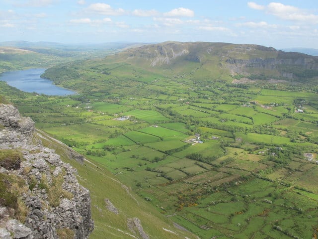 IndicatedFairy fort / earthen ringfort · 532 yd
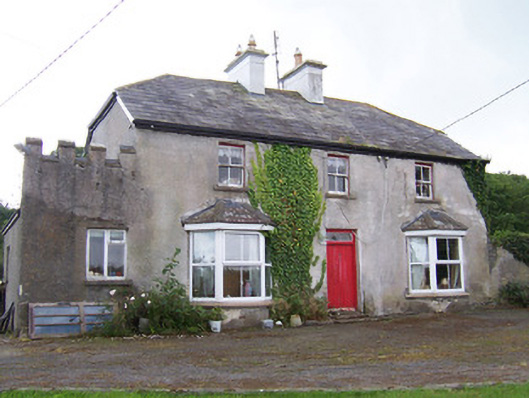 Meadowsidehouse · 878 yd
 ChapelChurch · 1117 yd
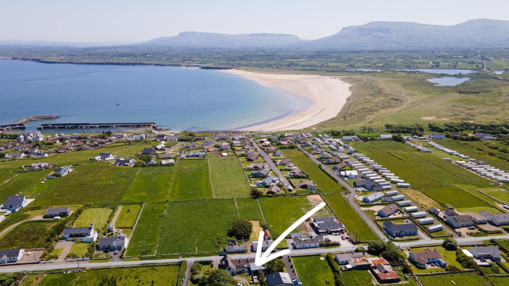 Enclosure in Drinaghan MoreEnclosure · 1557 yd
 Castle FirbisCastle, tower house · 1.8 mi
 Wild Atlantic Way: Inishcrone PierVisitor information · 2.1 mi
 Grave of the Black PigArchaeological place · 2.4 mi
 The Black PigMemorial · 2.8 mi
 Enniscrone BeachBeach / strand · 3.0 mi
 Rathlee HeadHeadland · 4.1 mi
 CastleCastle, unclassified · 4.3 mi
 Horse IslandIslet · 4.5 mi
Other information
Photo: Credit not shown in the picture search · Rights wording not checked; contact us if this picture should be removed