What is recorded here
Located at the S side of a col between a low NE-SW ridge c. 550m to the N and Ballylane Hill c. 1 km to the SE. Centre-line testing (E4067) in advance of the N25 New Ross by-pass identified a NE-SW linear ditch (Wth c. 0.6m; D 0.45m; available L 9m) with a V-shaped profile that was filled with dark brown silty clay beneath brown clay (Doyle et al. 2010, 36). It was set aside for resolution as Creaken Upper 1 and further excavation (E4112) determined that it is probably a fairly modern field drain (L c. 23m; Wth 1.34m; D 0.49m) (Clark and Hackett 2010b, 3, 8; Hackett 2013).
Compiled by: Michael Moore
Date of upload: 24 September, 2013
The monument record does not grant public access. Check the route and ask the landowner before entering private land.
- What survives
- Recorded monument
Places near here
 Embanked enclosureFairy fort / ringfort · 433 yd
 Arnestown Housefarm house · 587 yd
 Fulacht fia in Arnestown (bantry By.)Fulacht fia · 856 yd
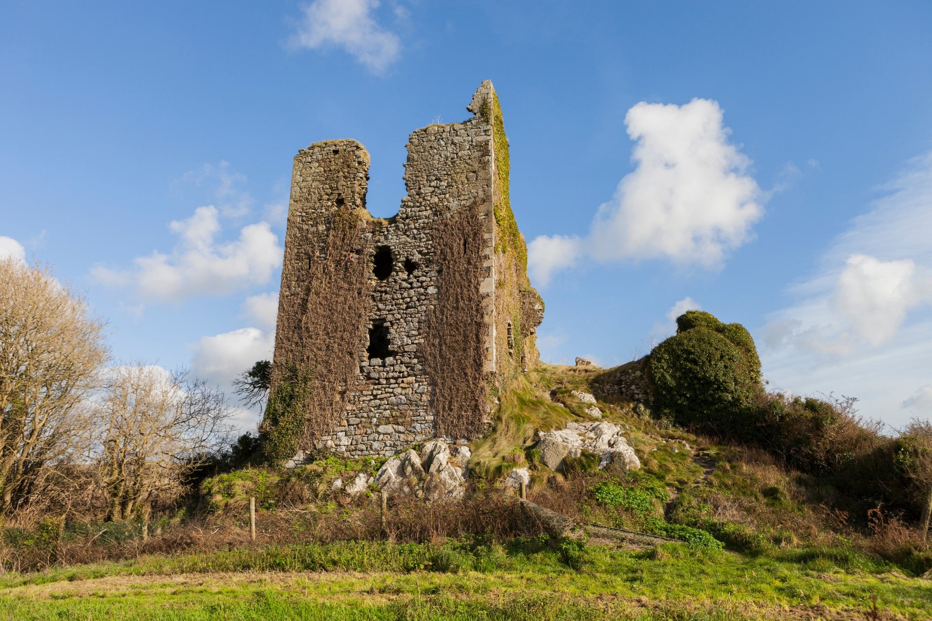 site of CastleCastle, unclassified · 1190 yd
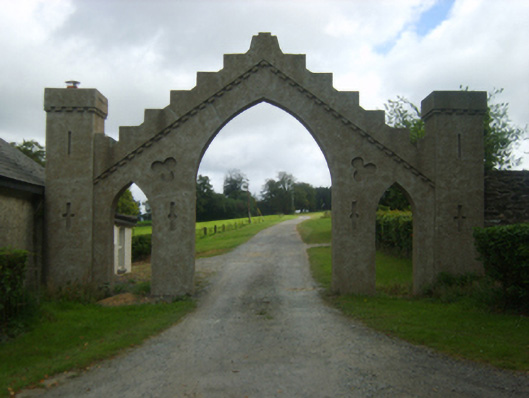 Talbot Hallgates/railings/walls · 1246 yd
 Site of Arnestown CastleCastle, unclassified · 1360 yd
 Crutched FriarsMemorial · 1.6 mi
 Ros Tapestry ExhibitionGallery · 1.7 mi
 Dunbrody Famine Ship Visitor CentreHeritage attraction · 1.7 mi
 O'NeillMemorial · 1.8 mi
 Partridge HillMountain / peak · 2.3 mi
 Lacken HillMountain / peak · 2.4 mi