What is recorded here
Identified in centre-line testing (E4110) in advance of the M11 Gorey to Enniscorthy road scheme, and it was set aside for resolution as Scurlocksbush 5 (Hardy et al. 2010, 100-01). The site is situated in a hollow in an undulating landscape and It was completely excavated (E4214) by C. Hardy. A mound of silty sand with a burnt stone content (dims 23m E-W; 11.5m N-S; max. T. 0.3m) overlay a rectangular trough (dims 2.54m x 1.2m; D 0.28m) with timbers on three of its sides, while 2.5m to the NE a second rectangular trough (dims 3.36m x 1.66m; D 0.27m) had a single timber on its base. Both troughs were aligned NNW-SSE and an E-W palaeochannel (exposed L 40m; Wth 3.32m; D 0.31-0.46m ) was just to the N of the larger trough. There were three pits (dims 1.54m x 1.02m; D 0.35m: 2.19m x 0.98m; D 0.32m: 1.6m x 1m; D 0.2m) in the excavated area, all with some burnt stone material and the last cut into the fill of the palaeochannel. The fulacht fia (WX026-092----) is c. 250m to the NNE. (Hardy 2012; 2013)
Compiled by: Michael Moore
Date of upload: 29 November, 2013
The monument record does not grant public access. Check the route and ask the landowner before entering private land.
- What survives
- Recorded monument
Places near here
 Fulacht fia in ScurlocksbushFulacht fia · 270 yd
 Scurlocksbush HillMountain / peak · 758 yd
 Fulacht fia in RoperstownFulacht fia · 809 yd
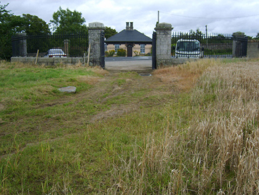 Edermine Housegates/railings/walls · 1204 yd
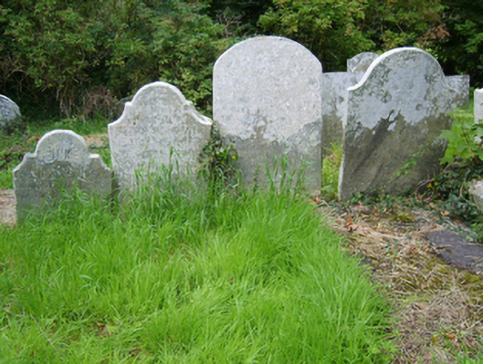 Edermine Church (Edermine)graveyard/cemetery · 1406 yd
 King's IslandIsland · 1.5 mi
 Black Castle (in ruins)Castle, tower house · 1.5 mi
 CastleCastle, ringwork · 2.6 mi
 National 1798 CentreMuseum · 3.8 mi
 Battle of Vinegar HillMajor battlefield · 4.1 mi
 Duffry GateMemorial · 4.2 mi
 U.N. Peace MemorialMonument · 4.3 mi