
What is recorded here
Situated in scrubland on the S bank of and close to the source of a small E-W stream, known as the Monroe. Monitoring of topsoil removal (E004785) during the construction phase of the M11 Gorey to Enniscorthy motorway in October 2016 identified two spreads of burnt stone c. 80m apart. The E feature extended outside the road corridor, and excavation was conducted in November/December 2016 under the same licence. This E feature was only excavated (dims 7m E-W; 3m N-S; max. D 0.3m) within the road take. There was a rectangular trough (dims 1.35m x 1.2m; max. D 0.44m) with round corners, straight sides and a flat base just outside the mound to the W and it was filled with black peaty clays. Most of the burnt mound (total dims 12m x 8m; D 0.22m) spread outside the excavated area to the SE and is preserved in situ under a covering of terram and soil. Hazel and ash were present in the charcoal and a sample of hazel from the bottom of the trough produced a C14 date of 2201-2024 cal. BC. No artefacts were recovered. (Turrell and Kavanagh 2012)
Compiled by: Michael Moore
Date of upload: 23 October 2020
The monument record does not grant public access. Check the route and ask the landowner before entering private land.
- What survives
- Recorded monument
Places near here
 Scurlocksbush HillMountain / peak · 518 yd
 Fulacht fia in ScurlocksbushFulacht fia · 545 yd
 Fulacht fia in RiverviewFulacht fia · 762 yd
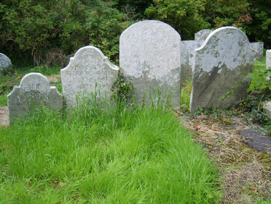 Edermine Church (Edermine)graveyard/cemetery · 1101 yd
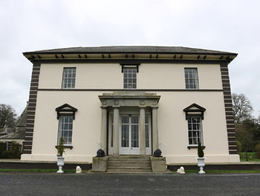 Edermine Housecountry house · 1473 yd
 Black Castle (in ruins)Castle, tower house · 1.3 mi
 King's IslandIsland · 1.9 mi
 CastleCastle, ringwork · 2.4 mi
 National 1798 CentreMuseum · 3.4 mi
 Battle of Vinegar HillMajor battlefield · 3.7 mi
 Duffry GateMemorial · 3.9 mi
 U.N. Peace MemorialMonument · 3.9 mi
Other information
Photo: Credit not shown in the picture search · Rights wording not checked; contact us if this picture should be removed