What is recorded here
Not indicated, 492 is a rocky earthwork on Knocksentry Hill, County Limerick, overlooking Lough Gur. It stands among six monuments, including Leagaun stone, a mound, an enclosure, another standing stone, Kistvaen Field cemetery, Circle O and Circle P. The hilltop pasture holds a quiet cluster of markers, suggesting people valued this ridge for sight, memory or ritual.
On rocky pasture on the summit of Knocksentry Hill (150m / 492 ft. OD) overlooking Lough Gur 650m to NE. The site is one of six monuments on and around the hill including the standing stone annotated 'Leagaun' (LI032-051----) located 250m to SW; a mound (LI032-056003-) located 75m to NE; an enclosure (LI032-056006-) located 180m tp ENE; a standing stone (LI032-056011-) located 320m to SE and a flat cemetery, annotated ‘Kistvaen Field’ (LI032-055----) 260m to SSW. Circle O (LI032-060----) and Circle P (LI032-059----) are 405m to S.
The site is not depicted on 1840 ed. OSi 6-inch map. It is depicted as an area of rock outcrop annotated 'Knocksentry' with adjacent trig. station on the 1897 ed. OSi 25-inch map. The Cassini OSi 6-inch map depicts an oval-shaped mound (ext. dims. c. 15m N-S; 20m E-W) with trig. station marking spot height 492 ft. OD on E quadrant of monument. The mound is visible on OSi orthoimage taken 2005-12 and on the Digital Globe orthoimage taken 2011-2013. The site is visible on Google Earth orthoimage taken 05/04/2006; 28/06/2018 and 20/09/20200.
See attached Google Earth orthoimages
Compiled by: Edmond O’Donovan
Date of upload: 23 November 2020
The monument record does not grant public access. Check the route and ask the landowner before entering private land.
- What survives
- Recorded monument
Places near here
 Mound in LoughgurMound · 87 yd
 Kistvaen FieldFlat cemetery · 307 yd
 Lough Gur Heritage CentreVisitor information · 679 yd
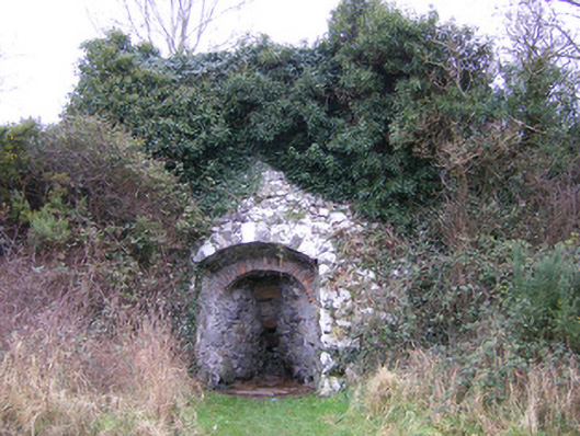 kilnkiln · 682 yd
 The SpectaclesVisitor information · 724 yd
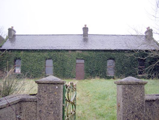 Lake Viewhouse · 807 yd
 Pedunculate OakPedunculate Oak · 928 yd
 OultinedBawn · 1109 yd
 Black Castle (in ruins)Castle, tower house · 1518 yd
 Grange Stone CircleArchaeological place · 1.5 mi
 Lough GurVisitor information · 1.5 mi
 Banoge's WellSpring · 2.4 mi