What is recorded here
Located on a fairly level landscape c. 180m NW of Lough Sallagh, and discovered during July 2018 in archaeological monitoring of forestry trenching (pers. comm. Richard Crumlish). A spread of burnt stone (dims 2.4m N-S; 1m E-W) was identified at a depth of 0.15m, and 0.8m to the N at 0.7m below the surface a smaller spread (dims 1.15m x 0.5m) of burnt stone was identified. Both spreads are probably more extensive and the area will be excluded from tree-planting.
Compiled by: Michael Moore
Date of upload: 12 July, 2018
The monument record does not grant public access. Check the route and ask the landowner before entering private land.
- What survives
- Recorded monument
Places near here
 Sweathouse in AnnaghoneySweathouse · 1031 yd
 Mass-rock in Drumgownagh (carrigallen By.)Mass-rock · 1577 yd
 Native Woodland Trust: Farnaght ReserveWood · 1.4 mi
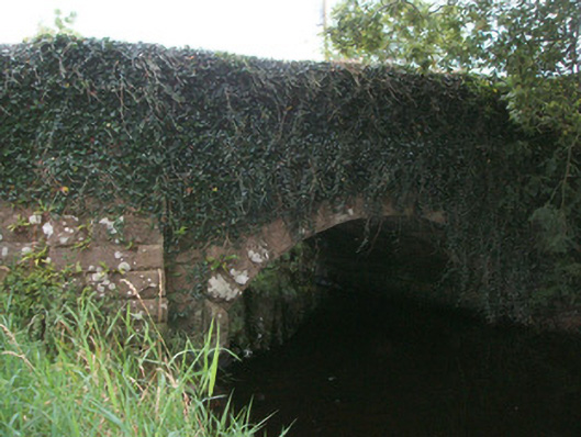 bridgebridge · 1.6 mi
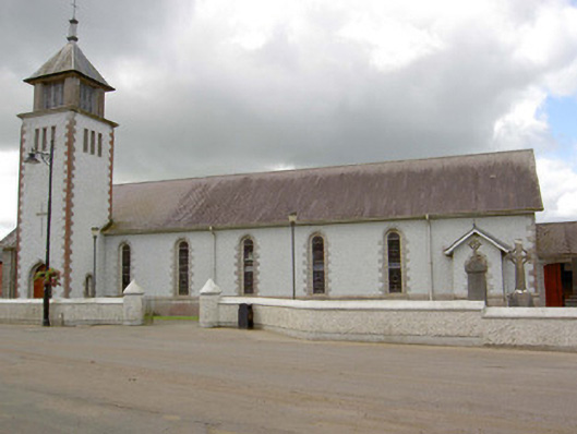 Saint Patrick's Catholic Churchchurch/chapel · 2.0 mi
 Battle of BallinamuckMajor battlefield · 2.1 mi
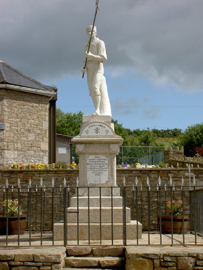 1798 Monumentmonument · 2.1 mi
 OratoryCastle, tower house · 2.6 mi
 Derrinch IslandIslet · 3.2 mi
 Duck IslandIslet · 3.4 mi
 Holm OakHolm Oak · 3.5 mi
 North Midland Transport CollectionMuseum · 3.6 mi