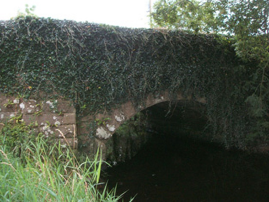
What is recorded here
Single-arch road bridge over Black River built c. 1860. Segmental-headed arch having rock-faced limestone voussoirs with dressed margins. Squared coursed rock-faced limestone spandrel walls, parapets and abutments. Squared dressed limestone masonry to barrel. Projecting piers (on square-plan) to either side of arch,…
Read the whole record
From the Buildings of Ireland (National Inventory of Architectural Heritage) record 13400516
Places near here
Photo credits
- Maker not stated on source page, www.pinterest.com
- National Inventory of Architectural Heritage
- Maker not stated on source page, www.alamy.com
- Oliver Dixon, Wikimedia Commons
- Oliver Dixon, Wikimedia Commons · CC BY-SA 2.0
- Maker not stated on source page, commons.wikimedia.org
- Maker not stated on source page, global-geography.org
- Kmcnamee, Wikimedia Commons · CC BY-SA 4.0
- Terry Williams / Leitrim Observer, www.leitrimobserver.ie
 Fairy fort / earthen ringfort in DrumbadFairy fort / earthen ringfort · 868 yd
Explorer Tom Drumbad’s fort is hiding under so much scrub the wind keeps trying to push it over like a card tower. It’s got a proper…
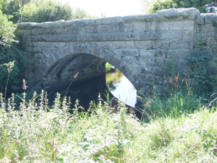 bridge1606 yd
Explorer Tom Bridge in Esker North has got more opinions about its own craftsmanship than a posh London architect, with those fancy…
 Mapped graveyardGraveyard · 1.2 mi
Explorer Tom Mapped graveyard hosted a dance that went so far that the floorboards are still humming with the bass from decades ago.…
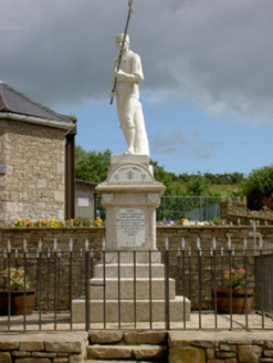 1798 MonumentMonument · 1.2 mi
Explorer Tom This 1798 Monument in Shanmullagh depicts a wounded pike man who is definitely taking a nap when nobody is looking…
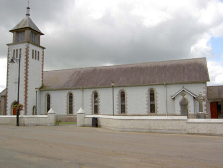 Saint Patrick's Catholic ChurchChurch/chapel · 1.2 mi
Explorer Tom Saint Patrick's Catholic Church in Shanmullagh has round windows that would be perfect for peeking at zombies. It’s…
 Ballinamuck 1798 Visitor CentreRic barracks · 1.2 mi
Explorer Tom Ballinamuck's 1798 Visitor Centre sits in the village where the rebellion's western campaign reached its grim end.…
 Battle of BallinamuckMajor battlefield · 1.3 mi
Explorer Tom The Battle of Ballinamuck was where French soldiers met Irish rebels and things got a bit messy with the shooting and…
 Ballinamuck New CemeteryCemetery · 1.3 mi
Explorer Tom Ballinamuck New Cemetery is run by a terrier named Buster who barks at anyone wearing sensible shoes. He’s in charge…
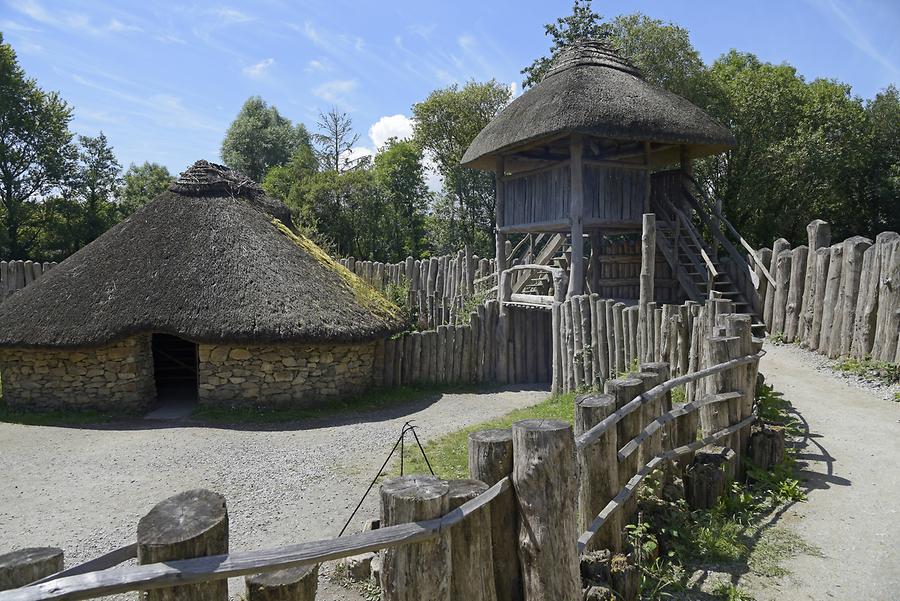 RingFortFort · 1.3 mi
Explorer Tom RingFort was designed by a mother-in-law who wanted to keep the son-in-law out permanently and succeeded brilliantly.…
 Monaduff, Fr. Manning GaelsGAA ground · 1.4 mi
 Stone sculpture in KiltycreevaghStone sculpture · 1.8 mi
Explorer Tom Stone sculpture in Kiltycreevagh is famous for the most dramatic thing that ever happened there: absolutely nothing at…
 Pairc Gortleitreach, Gortletteragh GAAGAA ground · 2.3 mi
More historic places in County Longford · All of County Longford

What do you know about this place?Tap to add a comment or ask a question