
What is recorded here
Single-arch road bridge over Black River, built c. 1860. Segmental-headed arch with rusticated voussoirs to arch. Squared and dressed rubble stone to barrel and abutments. Rock-faced spandrel walls with projecting rock-faced piers, flanking arch, having rock-faced capstones over. Rock-faced string course at road/deck…
Read the whole record
From the Buildings of Ireland (National Inventory of Architectural Heritage) record 13400502
Places near here
Photo credits
- National Inventory of Architectural Heritage
- Maker not stated on source page, www.pinterest.com
- Kmcnamee, Wikimedia Commons · CC BY-SA 4.0
- Maker not stated on source page, www.tripadvisor.co.uk
- Maker not stated on source page, global-geography.org
- Maker not stated on source page, uk.pinterest.com
- Oliver Dixon, Wikimedia Commons · CC BY-SA 2.0
 bridge802 yd
Explorer Tom A poet once fell into the ditch right next to this bridge in Melkagh while trying to look romantic. He wrote a terrible…
 gates/railings/walls805 yd
Explorer Tom Gates in Melkagh might sound like 'Melk' is a type of milk, but it’s really just a fancy word for sturdy limestone…
 Fairy fort / earthen ringfort in DrumbadFairy fort / earthen ringfort · 1347 yd
Explorer Tom Drumbad’s fort is hiding under so much scrub the wind keeps trying to push it over like a card tower. It’s got a proper…
 Monaduff, Fr. Manning GaelsGAA ground · 1663 yd
 Mapped graveyardGraveyard · 1.3 mi
Explorer Tom Mapped graveyard in County Longford says if it won the lotto it would buy every headstone a new hat. It’s got big plans…
 mill (water)1.6 mi
Explorer Tom Mill in Drumlish is having an identity crisis on reality TV, refusing to grind corn because it lacks a personal brand.…
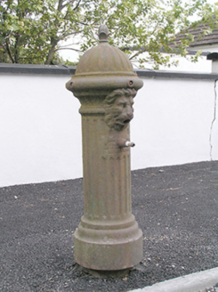 water pump1.7 mi
Explorer Tom The water pump in Corrabaun is involved in a fairy dispute over parking rights, which explains why it never moves. It’s…
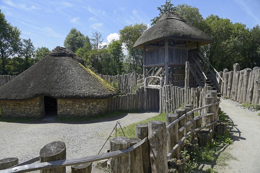 RingFortFort · 1.7 mi
Explorer Tom RingFort was designed by a mother-in-law who wanted to keep the son-in-law out permanently and succeeded brilliantly.…
 Land War MonumentMonument · 1.8 mi
Explorer Tom Land War Monument in Drumlish is basically a giant statue that the local rabbits use as a trampoline during full moons.…
 Mapped cemeteryCemetery · 2.0 mi
Explorer Tom Mapped cemetery sounds like it was named by someone who was really bad at geography and gave up halfway through the…
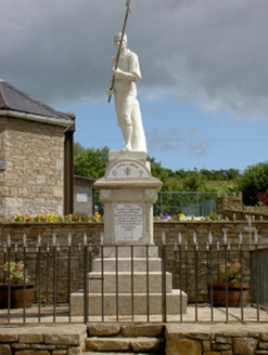 1798 MonumentMonument · 2.1 mi
Explorer Tom This 1798 Monument in Shanmullagh depicts a wounded pike man who is definitely taking a nap when nobody is looking…
 Battle of BallinamuckMajor battlefield · 2.2 mi
Explorer Tom The Battle of Ballinamuck was where French soldiers met Irish rebels and things got a bit messy with the shooting and…
More historic places in County Longford · All of County Longford

What do you know about this place?Tap to add a comment or ask a question