
What is recorded here
Situated on a rise in an undulating landscape. A raised subcircular platform (dims of top 11.5m E-W; 8.8m N-S) defined by a scarp (H 0.5-0.7m) at the centre of rath (MO019-005----) could be a hut-site.
Compiled by: Michael Moore
Date of upload: 22 June 2018
The monument record does not grant public access. Check the route and ask the landowner before entering private land.
- What survives
- Recorded monument
Places near here
 IndicatedFairy fort / earthen ringfort · 1309 yd
 Michael MooreFairy fort / earthen ringfort · 1322 yd
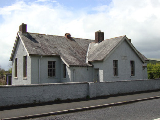 Annyalla National Schoolschool · 1.1 mi
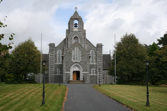 Saint Michael's Catholic Churchchurch/chapel · 1.1 mi
 Battle of ClontibretBattlefield · 3.0 mi
 Fort HillWood · 3.6 mi
 Monaghan WayWalking route · 3.7 mi
 John Francis GreenMemorial · 4.2 mi
 The CrescentMemorial · 4.3 mi
 Knockamaddy Big WoodWood · 4.4 mi
 Bawn in OnomyBawn · 4.8 mi
 Blaney CastleCastle · 4.8 mi
Other information
Photo: Credit not shown in the picture search · Rights wording not checked; contact us if this picture should be removed