What is recorded here
Situated on a NE-SW ridge in rolling pasture with good views in all directions. Sub-oval shaped area (7.5m ENE-WSW; 7m NNW-ESE) defined by a scarp (Wth. 1.8m; H 0.3m) and enclosed by a fosse (Wth. 1.2m; D 0.1m).
The monument record does not grant public access. Check the route and ask the landowner before entering private land.
- What survives
- Recorded monument
Places near here
 Ludden Church (in ruins)Church · 345 yd
 Wych ElmWych Elm · 680 yd
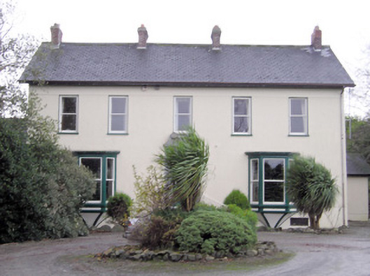 Ballymacreese Househouse · 1015 yd
 Bawn in Ludden MoreBawn · 1108 yd
 BrufeaArchaeological place · 1230 yd
 Greenan CastleCastle · 1356 yd
 St Lawrence's WellSpring · 1638 yd
 Enclosure in SkahardEnclosure · 1.0 mi
 Villiers WellSpring · 4.8 mi
 Graveyard in AbingtonGraveyard · 5.3 mi
 Saint John Paul IIMemorial · 6.6 mi
 KnockseefinMountain / peak · 7.1 mi