
What is recorded here
A decorated stone was recovered in the late 1800s by E. C. Rotherham who presented it to the National Museum of Ireland (K. S. CC 22). Coffey (1897, 37) says that it had been ‘built into a field fence in the neighbourhood of Loughcrew’, although it may be from Ballinvally townland (Eogan 2011, 7, No. 4). It is…
Read the whole record
From the National Monuments Service (Archaeological Survey of Ireland) record ME009-111
Places near here
Picture notes
- Computer-made picture. It does not show this monument.
- National Inventory of Architectural Heritage
- Computer-made picture. It does not show this playground.
- Haydn Hammerton, Wikimedia Commons · CC BY-SA 4.0
- Computer-made picture. It does not show this mountain top.
- Bill Griffiths, Wikimedia Commons · CC BY-SA 2.0
- Bob Embleton, Geograph · CC BY-SA 2.0
 Hut site in Boolies (fore By.)Hut site · 100 ydComputer-made picture
 Standing stone in Boolies (fore By.)Standing stone · 120 ydComputer-made picture
Explorer Tom Standing stone in Boolies would tell its younger self to stop trying to be so serious all the time. It’s just a big lump in a hollow, really. Tell the next person you meet it's haunted. It might be telling the truth.
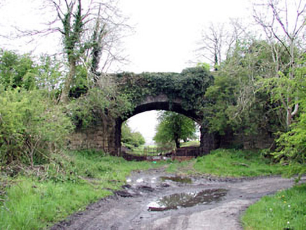 bridge1.1 mi
Explorer Tom Bridge in Oldcastle made a New Year’s resolution to stop missing the trains that stopped coming years ago. It still stands there looking dignified and slightly confused by the road traffic. Pick a stone, any stone, and imagine it’s a ticket stub.
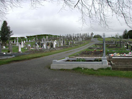 graveyard/cemetery1.2 miCastleCastle, unclassified · 1.4 mi
Explorer Tom Castle in Drumsawry OR Summerbank is so vague it could be anywhere or nowhere. It would probably ask for a tombstone that just says 'I was here-ish'. Ten minutes here and you'll have a yarn for the pub.
Drumlerry WetlandForest · 1.4 mi Children's playground1.5 miComputer-made pictureMemorial CrossMemorial · 1.8 mi
 Loughcrew Megalithic TombsHeritage attraction · 1.9 mi
 LurganboyMountain / peak · 2.0 miComputer-made picture
Explorer Tom Lurganboy is a friendly-sounding mountain in County Cavan, likely welcoming visitors with open arms and panoramic views from its summit.
 Slieve Na CalliaghMountain / peak · 2.0 mi
 Earthen TumulusCastle, motte · 2.5 mi
Explorer Tom Earthen Tumulus in Patrickstown inspired a bad poem about a fairy queen who was actually just a very confused farmer. It’s been quarried at the top because someone needed gravel for their driveway centuries ago. Make a wish, it's had centuries of practice.
More archaeology and monuments in County Meath · All of County Meath

What do you know about this place?Tap to add a comment or ask a question