What is recorded here
Located in a hollow in an undulating landscape. This is a large stone with a rectangular cross-section (dims of base 1.5m x 0.45m) at the base which is oriented NW-SE. The stone increases in girth (max. dim. 2.05m NW-SE) c. 1m over the ground and the maximum height (1.8m) is achieved towards the SE end of the crest.
The above description is derived from the published 'Archaeological Inventory of County Meath' (Dublin: Stationery Office, 1987). In certain instances the entries have been revised and updated in the light of recent research.
Compiled by: Michael Moore
Date of revision: 31 October 2018
The monument record does not grant public access. Check the route and ask the landowner before entering private land.
- What survives
- Recorded monument
Places near here
 indicatedChurch · 877 yd
 Enclosure in Newcastle (fore By.)Enclosure · 1.1 mi
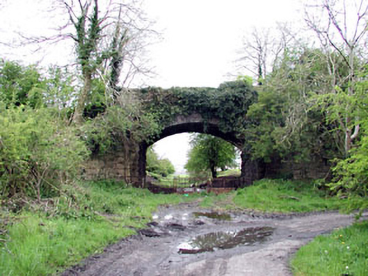 bridgebridge · 1.1 mi
 Enclosure in BallinvallyEnclosure · 1.3 mi
 CastleCastle, unclassified · 1.4 mi
 Site of Old CastleCastle, unclassified · 1.4 mi
 Drumlerry WetlandForest · 1.5 mi
 Fennor RockMountain / peak · 1.7 mi
 Memorial CrossMemorial · 1.7 mi
 Loughcrew Megalithic TombsHeritage attraction · 2.0 mi
 Mount FortuneMountain / peak · 2.0 mi
 C11Named rock · 2.0 mi