
Places near here
Photo credits
- National Inventory of Architectural Heritage
- Dan Clohessy / INPHO, www.roscommonherald.ie
- Roscommon Herald; individual photographer of this image not stated, www.roscommonherald.ie
- Kmcnamee, Wikimedia Commons · CC BY-SA 4.0
- Brendan Moran / Sportsfile, www.irishexaminer.com
- Golfing in Ireland; photographer not stated, Source publisher
- Picture: en.wikipedia.org
- Hyacinth45 at English Wikipedia, Wikimedia Commons · CC BY-SA 3.0
- Mike Searle, Wikimedia Commons · CC BY-SA 2.0
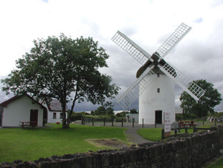 mill (wind)2.1 mi
Explorer Tom Mill in Elphin is a windmill that got tired of working and decided to become a landmark instead, which honestly suits…
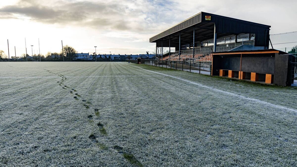 Orchard Park, Elphin GAAGAA ground · 2.3 mi
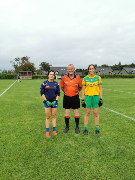 Croghan GAA Pitch, Shannon Gaels GAAGAA ground · 2.5 mi
 Ballinameen GAAGAA ground · 5.0 mi
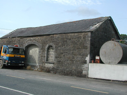 Carrick-on-Shannon Railway StationStore/warehouse · 5.2 mi
Explorer Tom Carrick-on-Shannon Railway Station is basically a goods shed that got lost and never found its way back to the depot.…
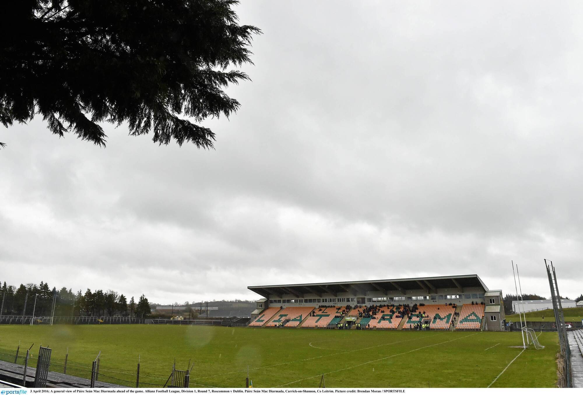 Páirc Seán Mac DiarmadaGAA ground · 6.4 mi
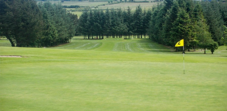 Boyle Golf ClubGolf course · 6.5 mi
 Pairc Naoimh Mhuire, St. Mary's GAA, KiltoghertGAA ground · 6.6 mi
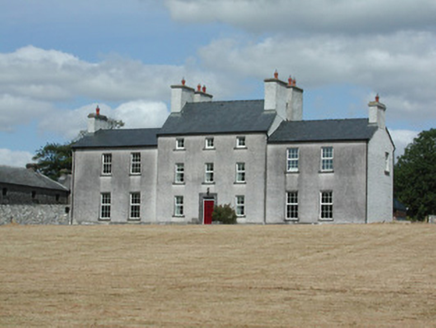 Dundermot HouseCountry house · 17 mi
Explorer Tom Dundermot House in Dundermot sits on a hill overlooking the River Suck, probably humming 'Country Roads' every single…
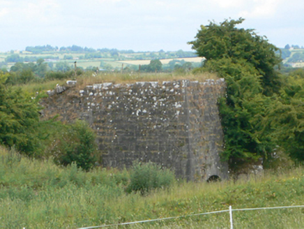 kiln18 mi
Explorer Tom Kiln in Ussey is run by a very serious dog that barks at the heat. The lime inside was baked with skills we don't have…
 Glinsk Castle in ruinsHouse, 17th century · 19 mi
Explorer Tom Glinsk Castle in ruins has a superstition: knock three times or it gets jealous. It’s a 17th-century diva that still…
 Bawn in Glinsk (ballymoe By.)Bawn · 19 mi
Explorer Tom Bawn in Glinsk listens to what goes on inside the walls and probably hears the Burkes arguing about who left the light…
More archaeology and monuments in County Roscommon · All of County Roscommon

What do you know about this place?Tap to add a comment or ask a question