What is recorded here
Within the NE corner of the church (GA107-109----). Noted in the OS Letters (O’Flanagan 1927, Vol. 2, 74-5), this 17th-century graveslab (overall L 1.84m; max. Wth 0.66m tapering to 0.37) is broken in three pieces. It is dated 164? and depicts a cross, the head of which consists of an open lozenge that expands into fleur-de-lis terminals. The shaft stands on a stepped Calvary base. An incomplete inscription in running along the sides and shaft reads:
[TH]IS STONE WAS MADE FOR
THOMAS ?GE TRESSY ?
FOR HIS SON [WIL]LIAM ??
Compiled by: Olive Alcock
Date of upload: 2 March 2020
The following images have been uploaded:
GA107-109002-_01.jpg
GA107-109002-_02.jpg
The monument record does not grant public access. Check the route and ask the landowner before entering private land.
- What survives
- Recorded monument
Places near here
 Church (in ruins)Church · 6 yd
 ‘St. Imor’s Holy Well’Holy well · 49 yd
 Hearnesbrooke Bridgebridge · 77 yd
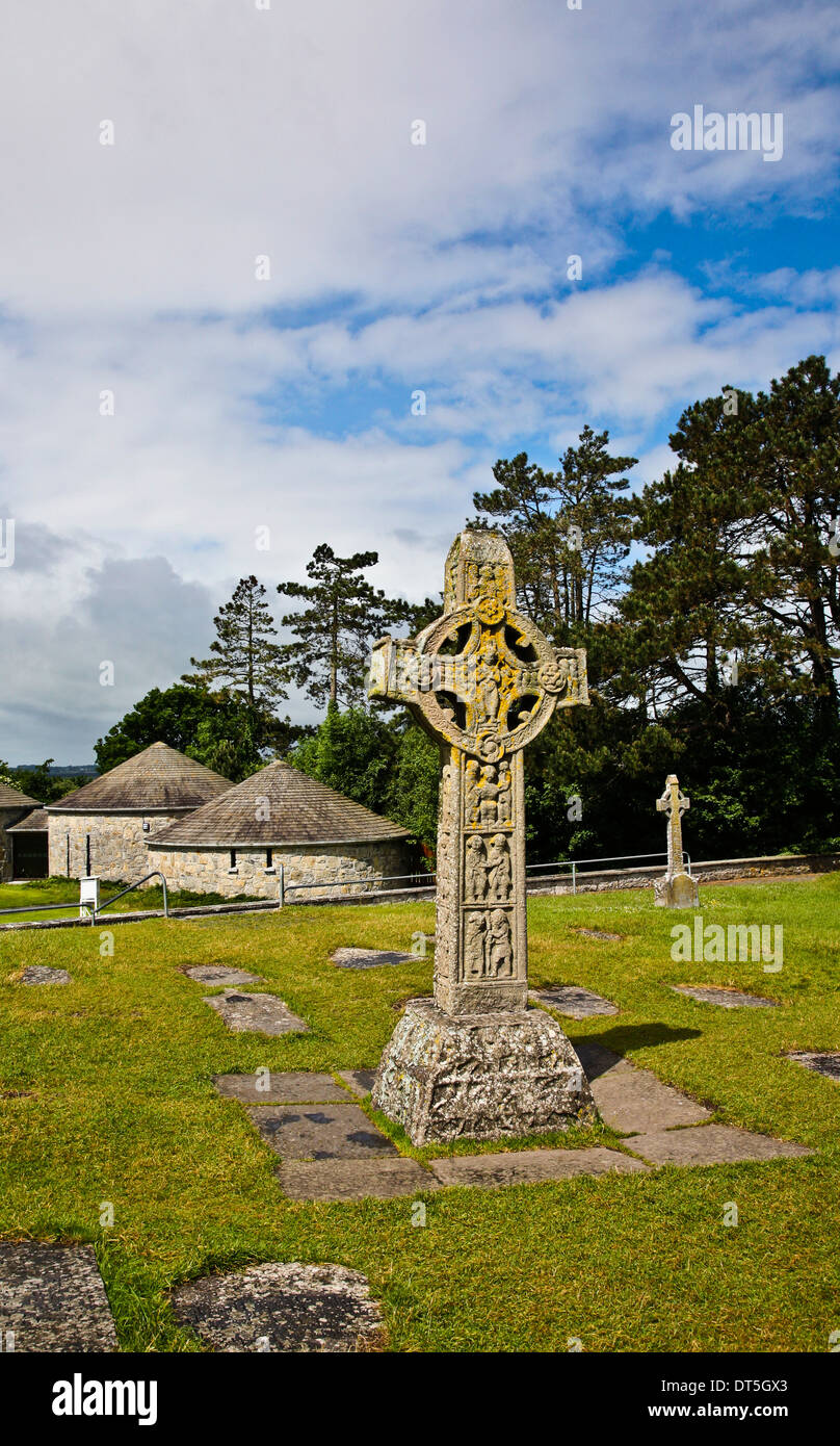 Site of CrossCross · 89 yd
 Quarryhill WoodWood · 3.5 mi
 Knockaunnageeragh Castle in ruinsCastle, unclassified · 3.6 mi
 Bog WoodForest · 3.7 mi
 Church HillMountain / peak · 3.7 mi
 CastleCastle, unclassified · 3.7 mi
 Redmond HillMountain / peak · 7.6 mi
 The bloody HollowHeritage attraction · 8.7 mi
 Battle of AughrimMajor battlefield · 8.8 mi