
What is recorded here
Not marked on any OS ed. Identified as a cropmark from aerial photograph (CUCAP, BGL 87).Circular area (int. diam. c. 33.6m) enclosed by a wide, low, ill-defined scarp, presumably the outline of the levelled bank and fosse. Break in scarp at NE may represent original entrance.
The above description is derived from the published 'Archaeological Inventory of County Cavan' (Dublin: Stationery Office, 1995). In certain instances the entries have been revised and updated in the light of recent research.
Date of upload/revision: 22 December 2008
A local fairy fort (ringfort/rath); wider significance not recorded.
The monument record does not grant public access. Check the route and ask the landowner before entering private land.
- What survives
- Recorded monument
Places near here
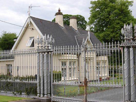 Battleaxe Gate Lodgegate lodge · 499 yd
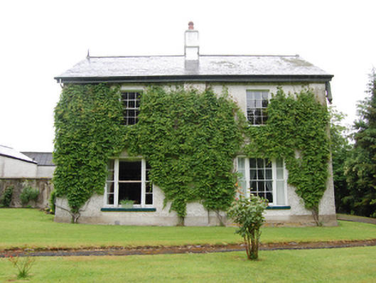 Drumbar Househouse · 695 yd
 Drumgoon FortArchaeological place · 723 yd
 ReservoirArchaeological place · 969 yd
 Bawn in FarnhamBawn · 1281 yd
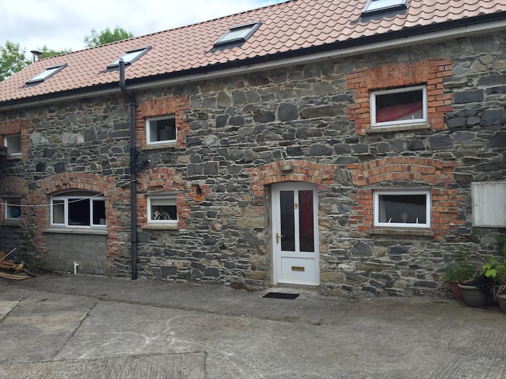 Home WoodsForest · 1293 yd
 Rambling at Farnham EstateVisitor information · 1386 yd
 Pedunculate OakPedunculate Oak · 1668 yd
 Owen Roe O'Neill graveMemorial · 1.3 mi
 CastleCastle, motte and bailey · 1.3 mi
 DrumardMountain / peak · 2.3 mi
 BillisMountain / peak · 2.4 mi
Other information
Photo: Credit not shown in the picture search · Rights wording not checked; contact us if this picture should be removed