What is recorded here
Three earthen banks and intermediate fosses enclose a raised circular area about 35 metres across in Drumbar, County Cavan. The outer bank is low and wide from NE to SE, now faced with stone and cut by a modern external trench. Matching breaks at SSW and causeways across the fosses may mark the original entrance. A narrow channel-like depression inside the NNW bank and a fainter one south of it remain visible. The shape is simple enough to picture people moving through it, working it and remembering it long before written records.
Raised circular area (int. diam. c. 35m) enclosed by three earthen banks with intermediate fosses. From NE-SE the outer bank is low and wide and has a modern external trench. It has been faced with stone in recent times. Corresponding breaks in the intermediate and inner banks at SSW with accompanying causeways across the fosses may represent original entrance. An earlier description (OPW 1968) recorded a circular area (diam. 9m) defined by a very narrow, shallow, channel-like depression inside the bank at NNW. Immediately to the S of this a similar although less well-defined feature was identified.
The above description is derived from the published 'Archaeological Inventory of County Cavan' (Dublin: Stationery Office, 1995). In certain instances the entries have been revised and updated in the light of recent research.
Date of upload/revision: 22 December 2008
The monument record does not grant public access. Check the route and ask the landowner before entering private land.
- What survives
- Recorded monument
Places near here
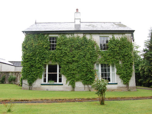 Drumbar Househouse · 130 yd
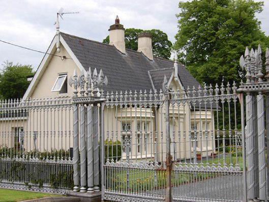 Battleaxe Gate Lodgegate lodge · 165 yd
 Not idicatedFairy fort / earthen ringfort · 586 yd
 ReservoirArchaeological place · 685 yd
 Bawn in FarnhamBawn · 779 yd
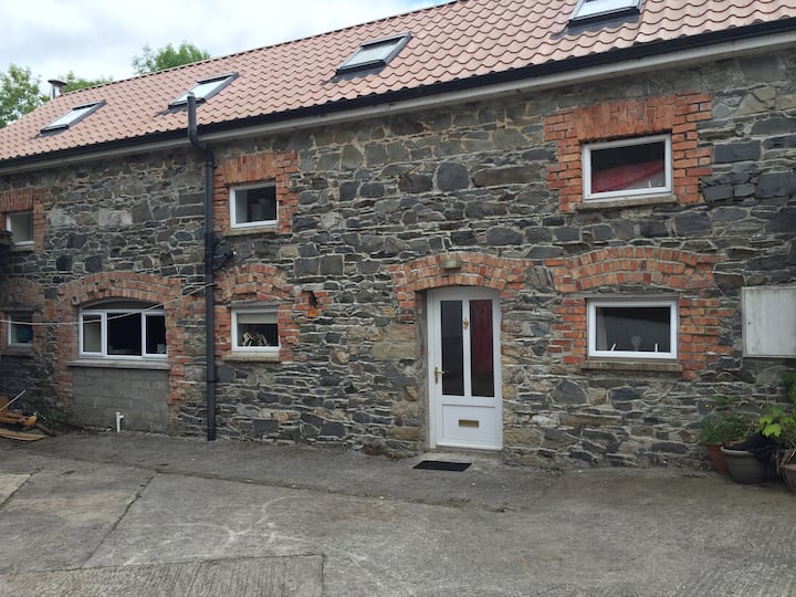 Home WoodsForest · 867 yd
 Rambling at Farnham EstateVisitor information · 876 yd
 Pedunculate OakPedunculate Oak · 1417 yd
 Owen Roe O'Neill graveMemorial · 1.3 mi
 CastleCastle, motte and bailey · 1.6 mi
 DrumardMountain / peak · 2.1 mi
 BillisMountain / peak · 2.3 mi