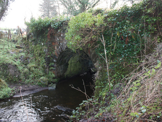
What is recorded here
Single-arch bridge, c. 1860 and possibly containing fabric of earlier bridge to site c. 1800, carrying small road over small unnamed stream\former millrace flowing into the estuary of the River Leannan to the north. Segmental-headed arch having squared rock-faced voussoirs to arch; squared rubble stone construction to…
Read the whole record
From the Buildings of Ireland (National Inventory of Architectural Heritage) record 40823111
Places near here
Photo credits
- Kenneth Allen, Geograph · Creative Commons Attribution-ShareAlike 2.0
- National Inventory of Architectural Heritage
- Kenneth Allen, Wikimedia Commons · CC BY-SA 2.0
- Willie Duffin, Geograph · CC BY-SA 2.0
- Maker not stated on source page, www.pinterest.com
- Maker not stated on source page, br.pinterest.com
- Malene Thyssen, Wikimedia Commons · CC BY-SA 3.0
- Picture: Donegal Day Out
 First Ramelton Presbyterian ChurchChurch/chapel · 187 yd
Explorer Tom First Ramelton Presbyterian Church was built between 1905 and 1907 with red sandstone trim that really pops against the…
 outbuilding189 yd
Explorer Tom Outbuilding in Rathmelton wears red brick trim on its stone face, like a farmer who forgot to take off his city suit. I…
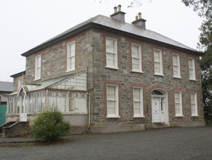 Melbourne HouseHouse · 229 yd
Explorer Tom Melbourne House in Rathmelton would order a triple-fries with extra gravy and call it a light snack, just to prove it…
 Tullyaughnish Old Church GraveyardGraveyard · 235 yd
Explorer Tom Tullyaughnish Old Church Graveyard has been hanging around since 1622, which is basically forever in church years. Sir…
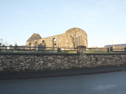 Tullyaughnish Church of Ireland ChurchChurch/chapel · 238 yd
Explorer Tom Tullyaughnish Church of Ireland Church has a chunk of wall from an island church sitting right above its window. I…
 Tullyaughnish Old ChurchChurch · 245 yd
Explorer Tom Tullyaughnish Old Church carries a carved stone from Aughnish island: a stylised tree between two lion-like creatures…
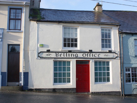 Betting OfficeHouse · 268 yd
Explorer Tom House in Rathmelton started because two lads made a bet in the pub about who could build the most interesting shop at…
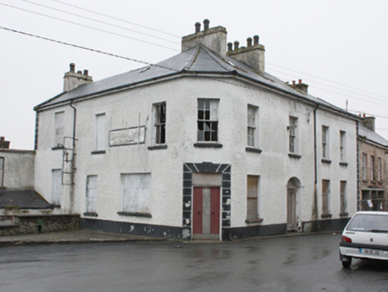 hotel273 yd
Explorer Tom Hotel in Rathmelton is derelict but still has this canted corner that makes it look like it’s trying to lean against…
 Rathmelton CastleCastle, unclassified · 432 yd
Explorer Tom Rathmelton Castle was a three-and-a-half-storey beast with round turrets, built by Sir William Stewart before the 1641…
 Mapped graveyardGraveyard · 559 yd
Explorer Tom This mapped graveyard had a fox take charge for a whole week before anyone noticed, and now the locals treat him like…
 European Beech923 yd
Explorer Tom European Beech in County Donegal would complain to the council about the lack of shade during peak afternoon hours and…
 Drummonaghan WoodForest recreation place · 1522 yd
Explorer Tom Drummonaghan Wood is only about a kilometre from Ramelton, yet its trees make the busy old town feel a thoughtful…
More historic places in County Donegal · All of County Donegal

What do you know about this place?Tap to add a comment or ask a question