What is recorded here
On a W-facing slope, running down to the River Suir c. 200m to the W, in rolling pasture. The church (ext. dims. 9.2m N-S at E end and 9.8m N-S at W end; 17.5m E-W) is located in the NW quadrant of a roughly rectangular graveyard (TS088-011003-). It is composed of roughly coursed limestone, with some sandstone boulders. It is aligned E-W with opposing round-headed doorways in the N and S walls (wall H 3.5m; T c. 1.05m). The embrasure of the S doorway (H 2.3m; Wth 1.67m) has been repaired and the N doorway (H 2.15m; H 1.93m) has been blocked up. The W gable (L 9.8m; H c. 8m) is obscured by ivy, with an opening at attic level, possibly a central light. The E end of the S wall has been rebuilt. The E gable (H 2m) appears to have been built later, the church probably being longer originally. According to the OS Letters the E gable was totally destroyed and a new E wall was built 'to shut up the Church for a burial place' (O'Flanagan 1930, vol. 1, 25).
Compiled by: Jean Farrelly
Date of upload: 26 August 2011
The monument record does not grant public access. Check the route and ask the landowner before entering private land.
- What survives
- Recorded monument
Places near here
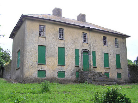 Lacken Househouse · 479 yd
 Enclosure in Carrow (ballybacon Par.)Enclosure · 974 yd
 Lisheenanoul.Fairy fort / earthen ringfort · 1259 yd
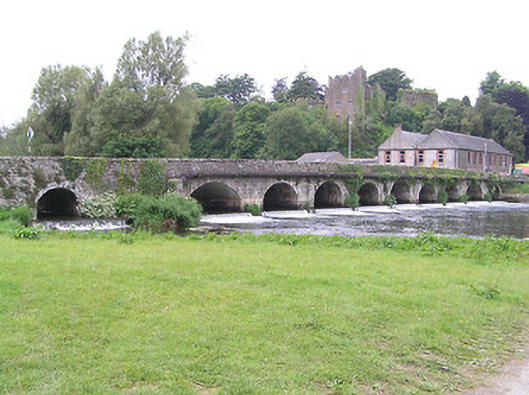 bridgebridge · 1625 yd
 Site of Clocully CastleCastle, unclassified · 1709 yd
 Bawn in FrehansBawn · 2.0 mi
 Woodcock HillMountain / peak · 2.2 mi
 European long distance path E8 - part IrelandWalking route · 2.6 mi
 Kildanogue wildfowl sanctuary and nature reserveNature reserve · 3.0 mi
 Hybrid Black PoplarHybrid Black Poplar · 3.6 mi
 Roche's HillMountain / peak · 3.9 mi
 The VeeViewpoint · 4.4 mi