
What is recorded here
A bivallate circular enclosure (int. diam. c. 40m; overall diam. c. 50m) defined by two concentric fosses, visible as a cropmark on satellite imagery (2021 Maxar Technologies, viewed May 2021), identified and reported by Jean-Charles Caillère. The W side of the inner enclosure is preserved in the N-S field boundary which deliberately curves to respect the monument. Another enclosure (TS088-017----) is located c. 100m to the S.
See attached photograph:
TS088-087----_01 Satellite image (2021 Maxar Technologies, viewed May 2021)
Compiled by: Jean Farrelly
Date of upload: 2 June 2021
A local fairy fort (ringfort/rath); wider significance not recorded.
The monument record does not grant public access. Check the route and ask the landowner before entering private land.
- What survives
- Recorded monument
Places near here
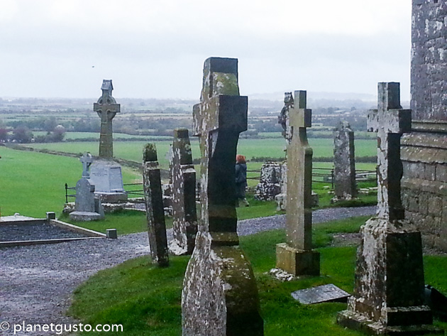 Ritual siteRitual site, holy/saint's stone · 449 yd
 Lisheenanoul.Fairy fort / earthen ringfort · 602 yd
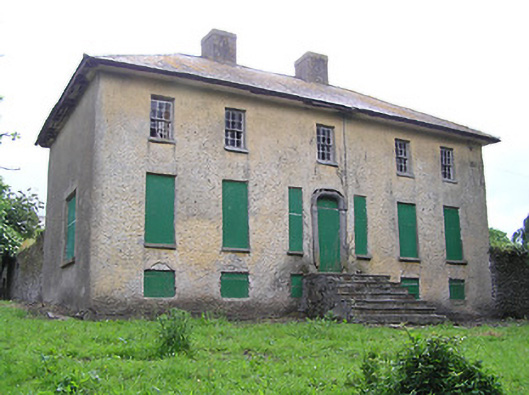 Lacken Househouse · 786 yd
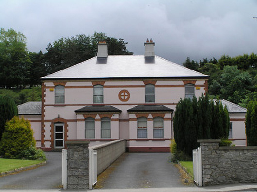 Catholic Church of the Holy Familypresbytery/parochial/curate's house · 1.0 mi
 Site of Clocully CastleCastle, unclassified · 1.1 mi
 Bawn in FrehansBawn · 1.8 mi
 Woodcock HillMountain / peak · 2.4 mi
 Kildanogue wildfowl sanctuary and nature reserveNature reserve · 2.4 mi
 European long distance path E8 - part IrelandWalking route · 2.9 mi
 Roche's HillMountain / peak · 3.4 mi
 The VeeViewpoint · 3.9 mi
 Bohernagore WoodForest · 4.0 mi
Other information
Photo: Credit not shown in the picture search · Rights wording not checked; contact us if this picture should be removed