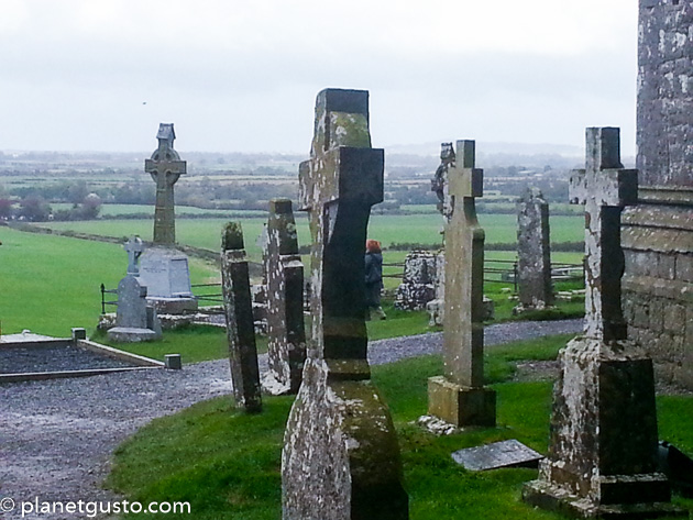
What is recorded here
On level ground on a gradual E-facing slope on Ardfinnan to Goatenbridge road, opposite Ballybacon road. On the townland boundary. Stone is known locally as a bullaun. Limestone boulder (H 0.43m; dims. 0.72m x 0.52m) with evidence of water erosion including a shallow curved groove (D 0.1m; Wth 0.14m) on top of the stone which continues down one side of the stone. It was formerly embedded in the ground and inscribed on its side is an OS bench mark. When the road was widened in the 1980s the stone was placed on a bed of concrete onto a stone plinth (H 0.66m; Wth 0.79m).
Compiled by: Jean Farrelly
Date of upload: 26 August 2011
The monument record does not grant public access. Check the route and ask the landowner before entering private land.
- What survives
- Recorded monument
Places near here
 Enclosure in Carrow (ballybacon Par.)Enclosure · 449 yd
 Font in Raheen (ballybacon Par.)Font · 655 yd
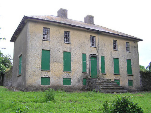 Lacken Househouse · 1158 yd
 Ladys Abbey (in ruins)Religious house, Carmelite friars · 1657 yd
 Site of Clocully CastleCastle, unclassified · 1.3 mi
 Bawn in FrehansBawn · 1.8 mi
 Kildanogue wildfowl sanctuary and nature reserveNature reserve · 2.2 mi
 Woodcock HillMountain / peak · 2.5 mi
 Roche's HillMountain / peak · 3.1 mi
 European long distance path E8 - part IrelandWalking route · 3.1 mi
 The VeeViewpoint · 3.6 mi
 Bohernagore WoodForest · 3.7 mi
Other information
Photo: Credit not shown in the picture search · Rights wording not checked; contact us if this picture should be removed