What is recorded here
On a W-facing slope. Circular overgrown platform (diam. c. 8m; H 0.6m) defined by a fosse (Wth of top c. 4m) and earthen bank (Wth 5-6m; int. H 0.6-0.8m; ext. H 1.5m). A flat-bottomed fosse (Wth of top c. 5.5m) and middle bank (Wth 4m; int. H 1m) are separated by a second fosse (Wth of top 5.5m; D 0.15m) from a third outer bank (Wth 5m. int. H 0.6m; ext. H 0.2-0.45m). The monument has been truncated at E and W by NW-SE roads, and the overgrown outer features only survive W-N and E-S (max. ext. diam. c. 65m NW-SE). Barrows (RO006-124002-) and (RO006-124003-) are immediately outside the perimeter to the NW and N. (Knox 1914b, 39-40)
Compiled by: Michael Moore
Date of upload: 24 August 2010
Multivallate enclosure, likely dating to the Late Bronze Age or Early Iron Age. Its multiple ditches and banks suggest a defensive or ceremonial function, reflecting complex social organisation in the prehistoric landscape.
The monument record does not grant public access. Check the route and ask the landowner before entering private land.
- What survives
- Recorded monument
Places near here
 IndicatedField system · 318 yd
 Enclosure in BallytrasnaEnclosure · 557 yd
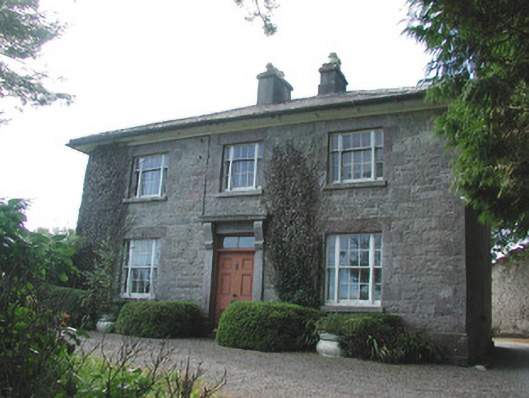 Ledford Parkhouse · 1.1 mi
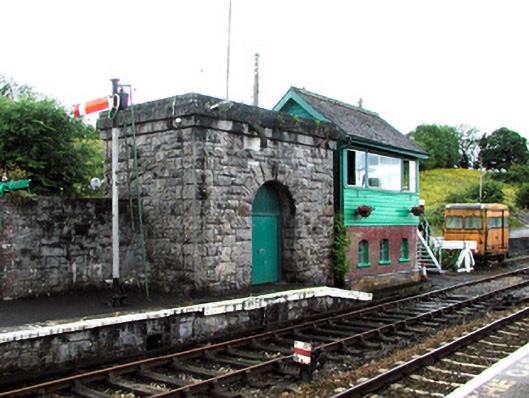 Boyle Railway Stationsignal box · 1.3 mi
 King William MemorialMonument · 1.4 mi
 Boyle AbbeyHeritage attraction · 1.5 mi
 Moylung Castle (in ruins)Castle, unclassified · 2.1 mi
 Erris BayBay · 2.3 mi
 Lough Key Forest ParkWood · 2.4 mi
 Bingham IslandIslet · 2.5 mi
 Trinity IslandIslet · 2.7 mi
 Western RedcedarWestern Redcedar · 2.8 mi