
What is recorded here
Mullaghmore Burial Ground sits in pasture on a south-facing slope, marked on the 1842 Ordnance Survey map but stripped of grave markers. The irregular area rises slightly above field level, holding dead without names or stones to point them out. It is a quiet trap for memory, where the living forgot to keep the shape of the dead.
In pasture on S-facing slope. Marked 'Mullaghmore Burial Ground' on OS 6-inch map (1842). Irregular area raised slightly above field level. No grave markers noted.
The above description is derived from the published 'Archaeological Inventory of County Cork. Volume 1: West Cork' (Dublin: Stationery Office, 1992). In certain instances the entries have been revised and updated in the light of recent research.
Date of upload/revision: 14 January 2009
The monument record does not grant public access. Check the route and ask the landowner before entering private land.
- What survives
- Recorded monument
Places near here
 Man-made underground passage in GortdromaghMan-made underground passage · 818 yd
 LisheenFairy fort / stone ringfort · 1436 yd
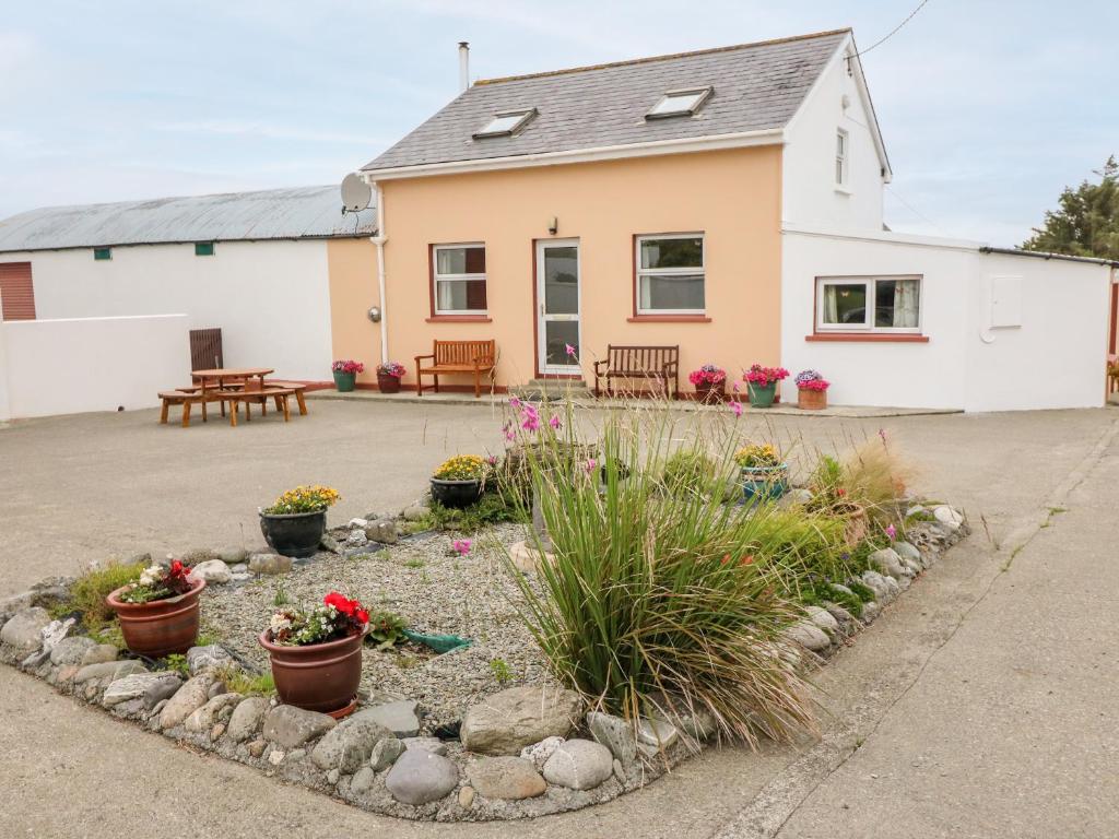
 Dromore Cottagehouse · 1.3 mi
 IndicatedMill, unclassified · 1.3 mi
 Ballyourane Castle (in Ruins)Castle, unclassified · 1.4 mi
 Mount KidMountain / peak · 2.9 mi
 Francis O'Neill PlaqueMemorial · 2.9 mi
 Baugorm Castle (Site of)Castle, unclassified · 3.1 mi
 Moyny Bridge WalkWalking route · 3.3 mi
 Trawlebane WalkWalking route · 3.4 mi
 Seskin ViewViewpoint · 4.8 mi
 Mullach MéiseMountain / peak · 4.8 mi
Other information
Photo: Credit not shown in the picture search · Rights wording not checked; contact us if this picture should be removed