
Places near here
Photo credits
- National Inventory of Architectural Heritage
- MPF, Wikimedia Commons · CC BY 2.5
- AnRo0002, Wikimedia Commons · CC0
- Kieran Campbell, Wikimedia Commons · CC BY-SA 2.0
- Kieran Campbell, Geograph · Creative Commons Attribution-ShareAlike 2.0
- kevin higgins, Wikimedia Commons · CC BY-SA 2.0
- JP, Geograph · CC BY-SA 2.0
Explorer Tom Enclosure in Killurin would describe itself to a stranger as 'a D-shaped ghost that got bulldozed but still feels important'. It was known locally as a fort, so it’s got some pedigree despite looking like nothing at all. Give it a pat on the way past, it's had a long life.
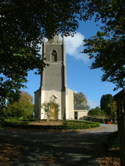 Saint Evehy's Church (Killoughy)Church/chapel · 1.4 mi
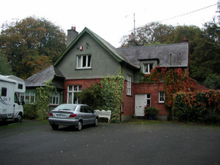 The RectoryRectory/glebe/vicarage/curate's house · 1.5 mi
Explorer Tom The Rectory in Lugamarla is jealous of more famous houses, so it got weird with Tudor details. It’s made of brick and stone and looks like it’s having a mid-life crisis. If it's closed, admire the weird shapes from the safety of the pavement.
Mullagh HillMountain / peak · 1.6 miSugar HillMountain / peak · 2.0 mi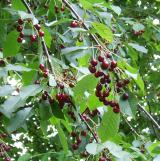 Wild Cherry2.3 mi
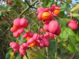 Spindle2.8 mi
 Ballycowan Castle (in Ruins)Bawn · 4.0 miBallycowan CastleCastle · 4.0 mi
 Graveyard4.2 mi
Explorer Tom Graveyard in Kilbride is locked in a feud with the view over who gets to be photographed first. St Brigid’s well is right there too, so you can drink history and argue about aesthetics simultaneously without breaking a sweat. Hang around long enough and you'll hear a story from a local.
 Mick the MillerMemorial · 4.8 mi
 Grand Canal WayWalking route · 5.6 mi
More mountains and hills in County Offaly · All of County Offaly

What do you know about this place?Tap to add a comment or ask a question