
What is recorded here
Situated towards the S edge of a large flat-topped, steep-sided hill (52m OD). Located on flat ground. The surrounding area consists of heavily eroded blanket bog, enclosed with modern wire fences to define large areas of rough pasture. The signal tower has unobstructed views in all directions. It was built to be…
Read the whole record
From the National Monuments Service (Archaeological Survey of Ireland) record DG041-014
Places near here
Photo credits
- National Inventory of Architectural Heritage
- CLG Naomh Muire club gallery; individual photographer not named, www.naomhmuire.ie
- Maker not stated on source page, www.tripadvisor.co.za
- Maker not stated on source page, www.flickr.com
- Maker not stated on source page, en.wikipedia.org
- Maker not stated on source page, www.discoverireland.ie
- Eric Jones, Geograph · Creative Commons Attribution-ShareAlike 2.0
- Maker not stated on source page, ph.pinterest.com
- Sue Mischyshyn, Wikimedia Commons · CC BY-SA 2.0
- Maker not stated on source page, www.tripadvisor.com.au
- N Chadwick, Geograph · CC BY-SA 2.0
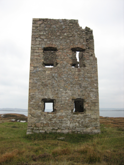 Mullaghderg Signal TowerSignal tower · 1 yd
Explorer Tom Mullaghderg Signal Tower was built in 1806 to help watch for a possible French invasion. The old survey found it…
 The Banks, Naomh Muire GAA, Lower RossesGAA ground · 1523 yd
 Cruit Island GraveyardCemetery · 1737 yd
Explorer Tom Cruit Island Graveyard has a favourite song that is just the sound of the waves crashing against the rocks at high…
 St. Bridgets WellsHoly well · 1.0 mi
Explorer Tom The second St. Bridgets Well witnessed a love story where two people missed each other by exactly ten seconds next to…
 St. Bridget's WellsSpring · 1.0 mi
Explorer Tom St. Bridget's Wells in County Donegal is definitely the spot where a priest lost a bet over who could drink the most…
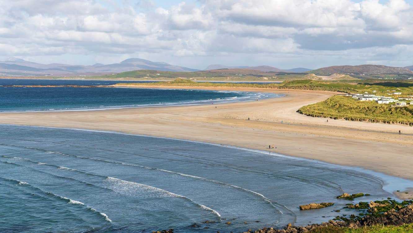 Oileán MuiríníIslet · 1.0 mi
Explorer Tom Oileán Muiríní is an islet in County Donegal that would describe itself to a stranger as 'a bit of a drama queen with…
 Saint Mary's Catholic ChurchChurch/chapel · 1.2 mi
Explorer Tom Saint Mary's Catholic Church in Belcruit would order a massive chipper with extra gravy if it ever hit the pub. It’s…
 Holy well in An Chruit Uachtarach,an Chruit ÍochtarachHoly well · 1.2 mi
Explorer Tom Holy well in An Chruit Uachtarach, An Chruit Íochtarach is one of several simple pits dug right into the sand. It’s a…
 An ChruitIsland · 1.2 mi
Explorer Tom An Chruit, better known to many visitors as Cruit Island, is a Donegal island you reach by a bridge, then discover that…
 Carey's Viking House HotelHotel · 1.5 mi
Explorer Tom Carey’s Viking House Hotel claims Vikings lived here, which is hilarious considering they were busy raiding France at…
 Mapped cemeteryCemetery · 1.5 mi
Explorer Tom “Mapped cemetery” in County Donegal was designed by a mother-in-law who wanted every headstone to be exactly three…
 CarrickfinnOfficial bathing water · 1.8 mi
Explorer Tom Carrickfinn lets you watch Donegal arriving by air while your feet are planted in some of its loveliest sand. A plane…
More archaeology and monuments in County Donegal · All of County Donegal

What do you know about this place?Tap to add a comment or ask a question