
What is recorded here
St. Bridget's Wells in Cruit graveyard are simple holes dug in sand, yet new ones keep appearing as people visit. Five show today, but the act of digging seems to belong to the place more than the water itself. A turas still moves through them, repeating an old belief that the island answers when it is asked.
The OS 6-inch maps record St. Bridget's Wells in Cruit graveyard. Five wells are to be found today, consisting of simple holes dug in the sand. Apparently new wells are constantly dug. A turas or pilgrimage involving these still takes place here.
Described by Ó Muirgheasa in 1936 as 'In Cruit Islands there are three Holy Wells: (1) Tobar Bhrighde, or St. Brigid's Well. (2) Tobar Mhuire (DG040-003001-), or the B. V. Mary's Well, and a third nameless (DG040-003002-). There were also three leachta there. There is a Leac Phroinseis, or St. Francis's flag-stone, which suggests a Franciscan foundation on the island. Sick persons used to be brought to sleep during one night on the Leacht Mhdr and if they slept it was a sign that they would get better. Stations are made on the 15th August. It is said that in Cruit graveyard there is an inscription which cannot be deciphered' (Ó Muirgheasa 1936, 152).
The above description was derived from the 'Archaeological Survey of County Donegal. A description of the field antiquities of the County from the Mesolithic Period to the 17th century.' Compiled by: Brian Lacey with Eamon Cody, Claire Cotter, Judy Cuppage, Noel Dunne, Vincent Hurley, Celie O'Rahilly, Paul Walsh and Seán Ó Nualláin (Lifford: Donegal County Council, 1983). In certain instances the entries have been revised and updated.
Compiled by Caimin O'Brien
Date of upload/revision: 02 November 2011
St. Bridget's Wells are associated with St. Brigid of Kildare, a prominent early Irish Christian saint linked to healing and fertility. The tradition of pilgrimage (turas) and the continual digging of new wells reflects ongoing local devotion and the belief in the wells' curative properties, particularly for ailments of the eyes and general health.
The monument record does not grant public access. Check the route and ask the landowner before entering private land.
- What survives
- Recorded monument
Places near here
 An ChruitIsland · 818 yd
 Saint Mary's Catholic Churchchurch/chapel · 1467 yd
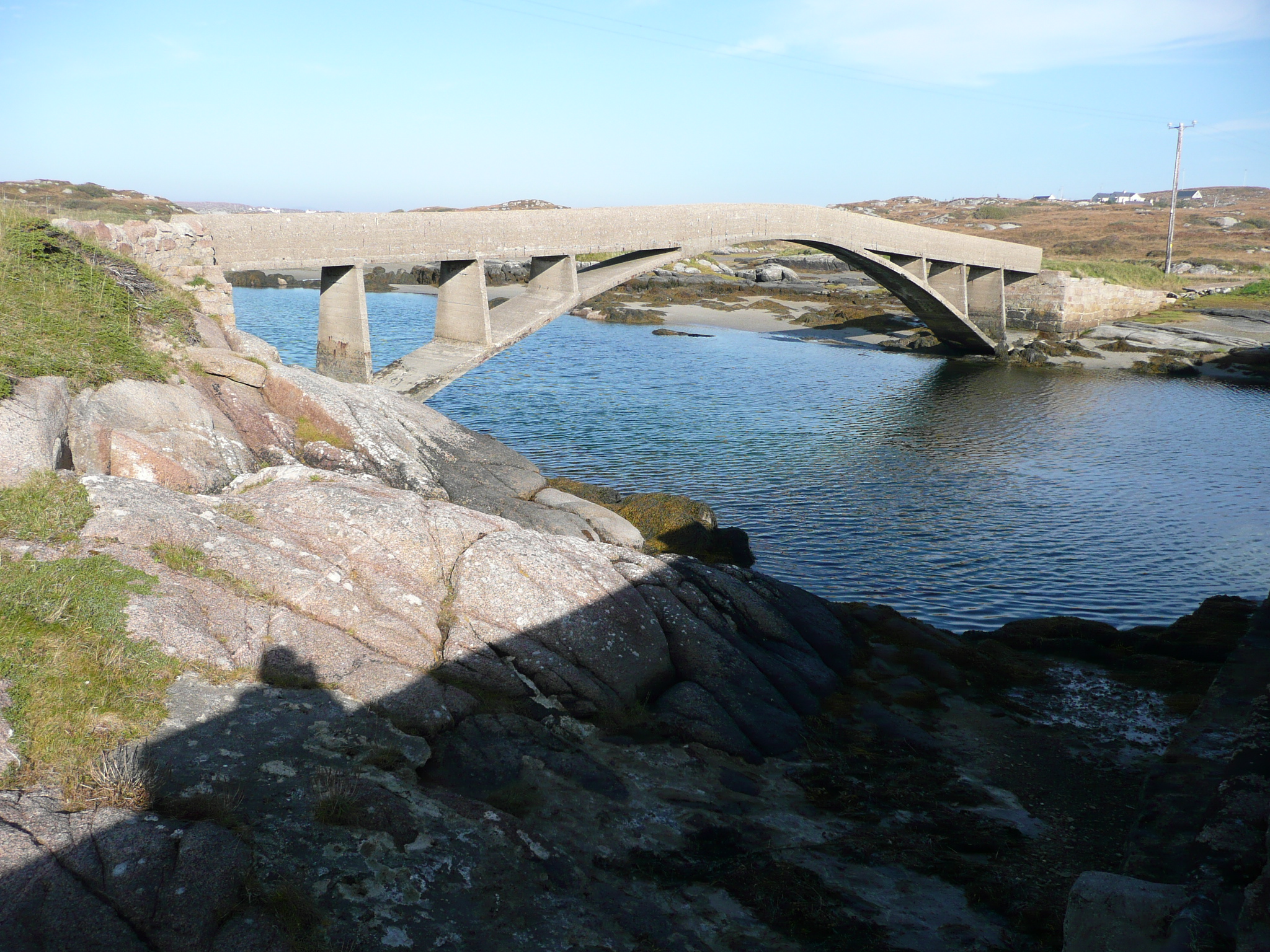 foot bridgefoot bridge · 1617 yd
 Altar (Site of)Penal Mass station · 1.2 mi
 Rinnalea Point / Na Reanna LiathaHeadland · 1.3 mi
 Old CastleFortification · 2.3 mi
 UaighIsland · 2.3 mi
 Cliffs of OweyPublicly named cliff or headland · 2.7 mi
 CarrickfinnOfficial bathing water · 2.8 mi
 Shipwreck beachBeach / strand · 3.1 mi
 Braade StrandBeach / strand · 3.4 mi
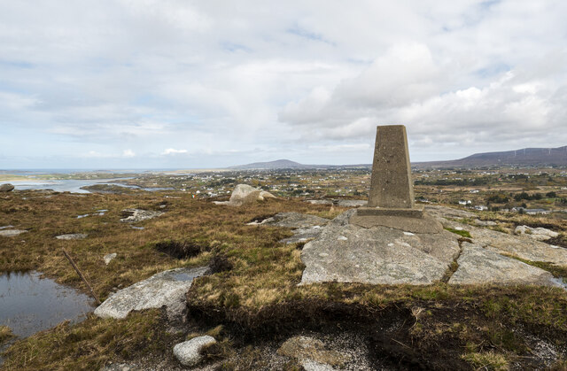 Annagary HillMountain / peak · 3.8 mi
Other information
Photo: Credit not shown in the picture search · Rights wording not checked; contact us if this picture should be removed