
What is recorded here
Depicted on current edition of the OS 6-inch map as 'Altar (Site of) but not marked on first ed. OS 6-inch map.
Compiled by: Caimin O'Brien
Date of upload: 13 February 2009
The monument record does not grant public access. Check the route and ask the landowner before entering private land.
- What survives
- Recorded monument
Places near here
 Saint Mary's Catholic Churchchurch/chapel · 803 yd
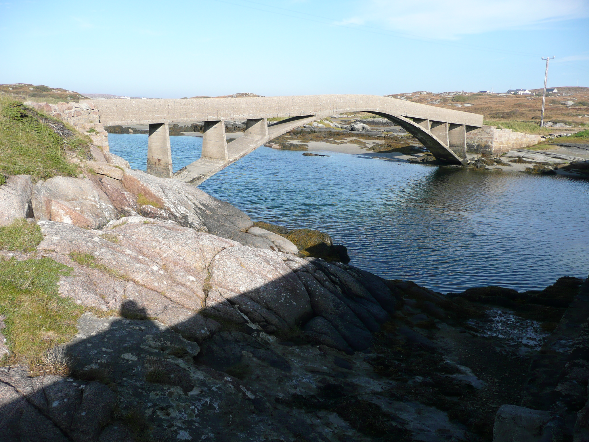 foot bridgefoot bridge · 1439 yd
 St. Bridgets WellsHoly well · 1.2 mi
 An ChruitIsland · 1.6 mi
 Rinnalea Point / Na Reanna LiathaHeadland · 1.7 mi
 CarrickfinnOfficial bathing water · 2.3 mi
 Stone Circle near Donegal AirportPublicly named stone circle · 2.3 mi
 Braade StrandBeach / strand · 2.7 mi
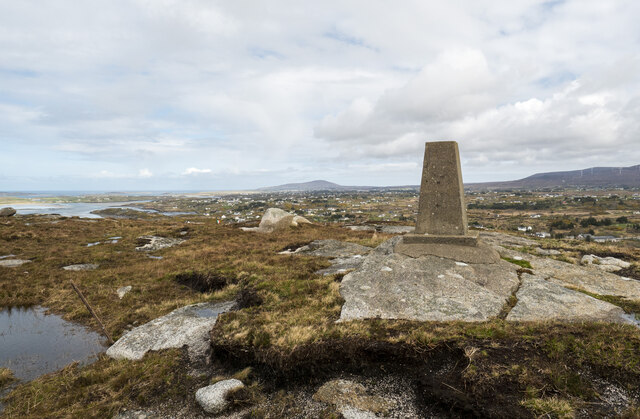 Annagary HillMountain / peak · 2.8 mi
 An t-Oileán LeathanIsland · 3.0 mi
 Shipwreck beachBeach / strand · 3.3 mi
 Cliffs of OweyPublicly named cliff or headland · 3.8 mi
Other information
Photo: Credit not shown in the picture search · Rights wording not checked; contact us if this picture should be removed