
What is recorded here
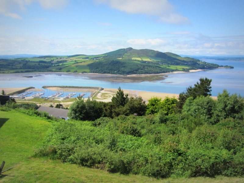
A reusable public picture page identifies this place as Stone Circle near Donegal Airport. This entry is kept separately because no one government record could be safely joined to that public name and point.
Likely dating to the Neolithic or Bronze Age, this stone circle may have been used for ceremonial, astronomical, or communal gatherings. No specific folklore or detailed archaeological analysis has been recorded for this site.
The public picture does not grant access. Check the route and ask before entering private land.
Places near here
 Braade StrandBeach / strand · 730 yd
 CarrickfinnOfficial bathing water · 976 yd
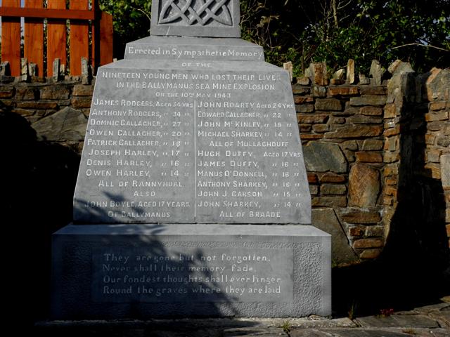 Ballymanus Mine Disaster Monumentmonument · 1106 yd
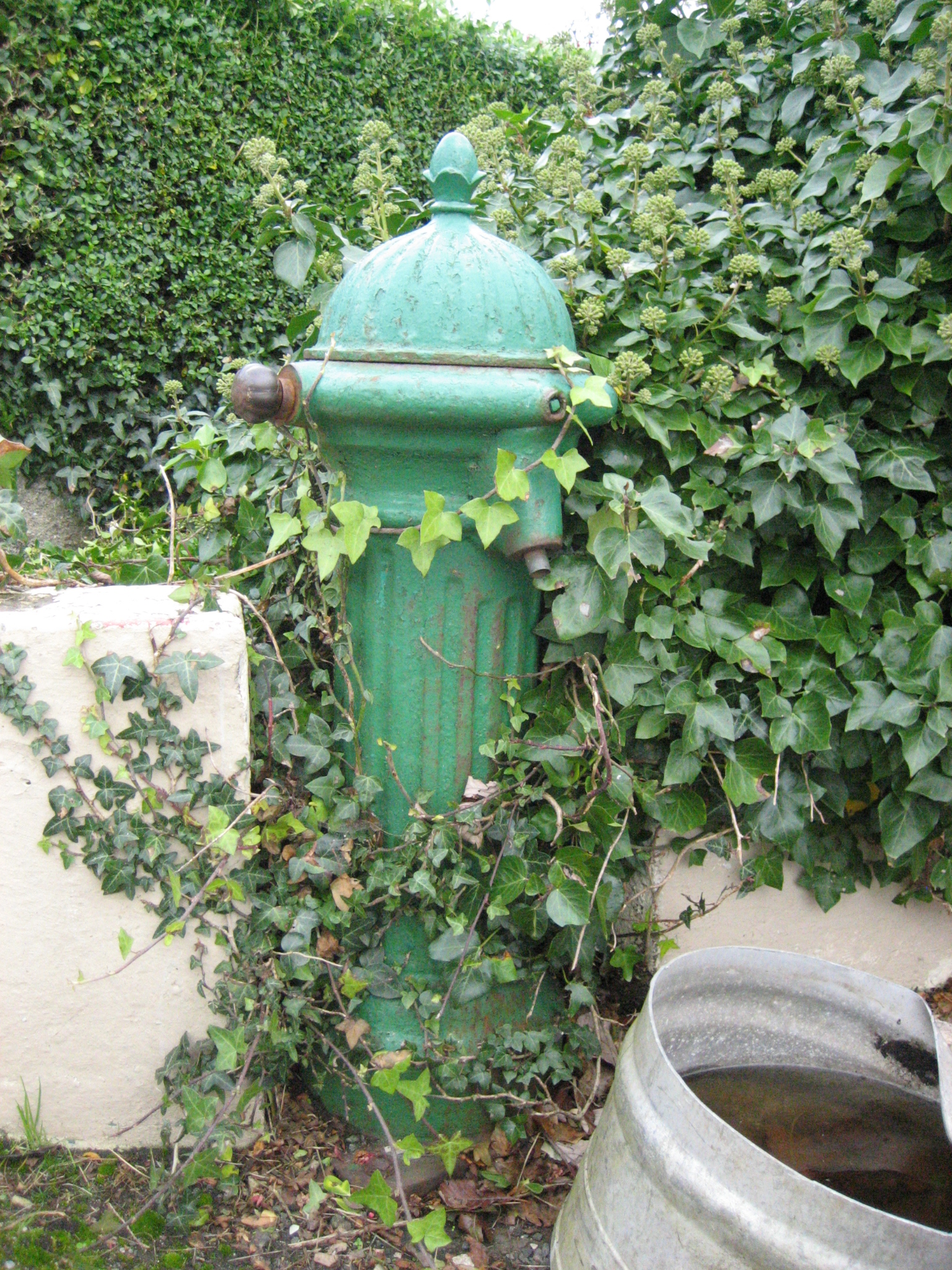 water pumpwater pump · 1115 yd
 Holy well in Rann Na FeirsteHoly well · 1.1 mi
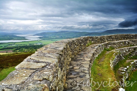 Annagry Stone RingfortFairy fort / stone ringfort · 1.4 mi
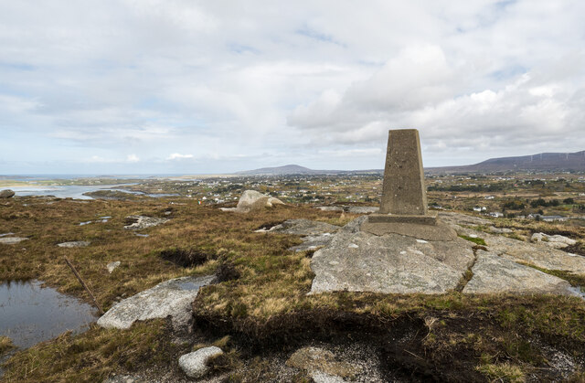 Annagary HillMountain / peak · 1.6 mi
 Rinnalea Point / Na Reanna LiathaHeadland · 2.2 mi
 Trá Dún MórBeach / strand · 2.3 mi
 An tOileán CarrachIslet · 2.6 mi
 Allagh IslandIslet · 3.2 mi
 Main WallCliff · 4.0 mi
Other information
Photo: Kenneth Allen · CC BY-SA 2.0