What is recorded here
Mountjoy Castle stands ruined above Lough Neagh in County Tyrone, where Felim O'Neill of Kinard and Turlough Gruama O'Quinn seized the fort during the Irish Rebellion of 1641. Its broken walls still face the water like a guard who forgot the enemy but never stopped watching. People may have climbed those hills to point at the castle, warn neighbours or simply measure how much power could be taken from a small stone room.
Mountjoy Castle is recorded as a fort in County Tyrone. Its open map record supplies this location and any linked names or public references.
Built by the MacCárthandúin (O'Cahan) clan in the 15th century, Mountjoy Castle was an important stronghold in County Tyrone during the Gaelic period. It is remembered for its strategic role in the region's medieval history and its later association with the English plan to colonize Ulster.
Places near here
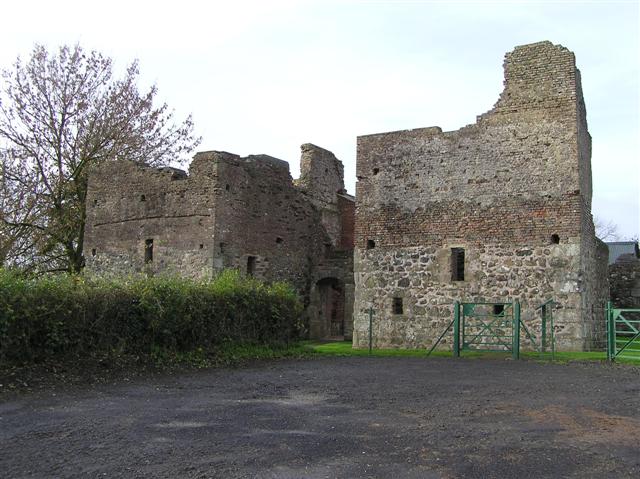 C17th CAMPAIGN FORT: MOUNTJOY CASTLE in Magheralamfield, MountjoyC17th CAMPAIGN FORT: MOUNTJOY CASTLE · 1 yd
 Mountjoy CastleRuins · 5 yd
 CROSS CARVED STONE (unlocated) in MagheralamfieldCROSS CARVED STONE (unlocated) · 173 yd
 Belville HouseHouse · 959 yd
 Drumard PlantationWood · 1.2 mi
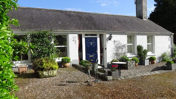 ENCLOSURE in AughamullanENCLOSURE · 1.3 mi
 Washing BayBay · 1.6 mi
 Drumcairne ForestWood · 1.9 mi
 St. Michael's ChurchChurch · 2.0 mi
 Clonoe ambushterrorist attack · 2.5 mi
 CrannogIslet · 2.9 mi
 Millennium MilepostVisitor information · 3.4 mi