
What is recorded here
The official Northern Ireland record identifies this as a Grade B+ listed building. Current recorded use: Church.
The official record and map point do not grant access. Many historic buildings are privately owned; view them only from public ground unless the owner allows entry.
Places near here
 RECTANGULAR ENCLOSURERECTANGULAR ENCLOSURE, ARTILLERY FORT · 944 yd
 Clonoe ambushterrorist attack · 967 yd
 ENCLOSURE in LisaclareENCLOSURE · 1066 yd
 Belville HouseHouse · 1.5 mi
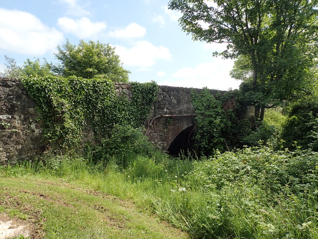 Coalisland CanalCoalisland Canal, IHR 05141 · 1.9 mi
 CrannogIslet · 1.9 mi
 Drumcairne ForestWood · 2.0 mi
 Mountjoy CastleRuins · 2.0 mi
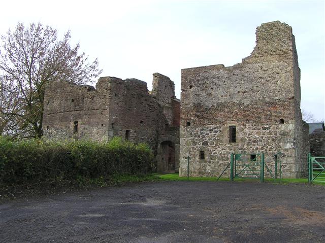 C17th CAMPAIGN FORT: MOUNTJOY CASTLE in Magheralamfield, MountjoyC17th CAMPAIGN FORT: MOUNTJOY CASTLE · 2.0 mi
 Drumard PlantationWood · 2.0 mi
 Washing BayBay · 2.4 mi
 Millennium MilepostVisitor information · 4.1 mi
Other information
Photo: P Flannagan · CC BY-SA 2.0