
What is recorded here
Mount Oriel Fort stands in County Louth, preserving a fort shape that may have watched the land for centuries before written memory. Its stones and soil still hold the shape of human hands, even if the names of those hands have faded. What is certain is that the place exists, endures, and invites imagination.
Mount Oriel Fort is recorded as a archaeological place in County Louth. Its open map record supplies this location and any linked names or public references.
Places near here
 Mount OrielMountain / peak · 660 yd
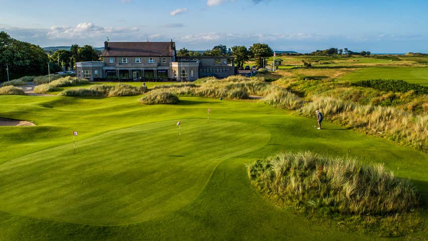 Fulacht fia in CollonFulacht fia · 1190 yd
 Kennys WellHoly well · 1573 yd
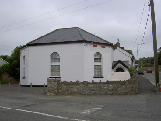 church/chapelchurch/chapel · 1.1 mi
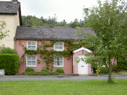 Grinny's Cottagehouse · 1.1 mi
 Black HillMountain / peak · 1.6 mi
 Cloghar WoodForest · 2.1 mi
 Pedunculate OakPedunculate Oak · 2.2 mi
 Irish Military Museum And ParkMuseum · 2.4 mi
 Site of Old CastleCastle, unclassified · 2.6 mi
 Not idicatatedCastle, unclassified · 2.9 mi
 Monasterboice Round TowerHeritage attraction · 3.7 mi
Other information
Photo: Credit not shown in the picture search · Rights wording not checked; contact us if this picture should be removed