What is recorded here
Mount Aaron is a glacial hillock in County Carlow that people keep mistaking for a fort because its shape invites belief. O'Donovan found a limestone quarry inside it, which broke the fantasy open like a wound. The hill does not need to be ancient or built; it only needs to be large enough to override reason.
Depicted on the 1839 'OS 6-inch' map as a circular enclosure and named 'Mount Aaron'. On a large hillock of glacial origin. Noted by O' Donovan (OS letters 1839) as having the appearance of an 'artificial fort or moat, but it seems to be a natural hillock, as a limestone quarry was found in the middle of it' (O' Flanagan 1934). When inspected by ASI in July 1987 it was described as a 'large overgrown oval hillock' and more recent quarrying had taken place on the N side but there was no indication in this exposed face of it being an artificial structure.
Reference:
O' Flanagan Ed. 1934 Letters containing information relative to the Antiquities of the County of Carlow collected during the progress of the Ordnance Survey in 1839. Bray
Compiled by: Claire Breen
Date of upload: 19 August 2011
The monument record does not grant public access. Check the route and ask the landowner before entering private land.
- What survives
- Recorded monument
Places near here
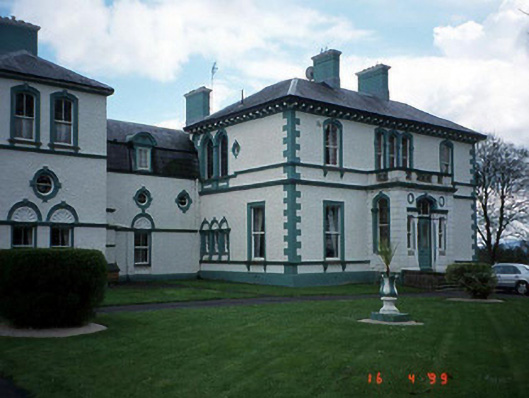 Mount Wolseleycountry house · 364 yd
 Cross (present location) in Mountwolseley OR CrosslowCross (present location) · 374 yd
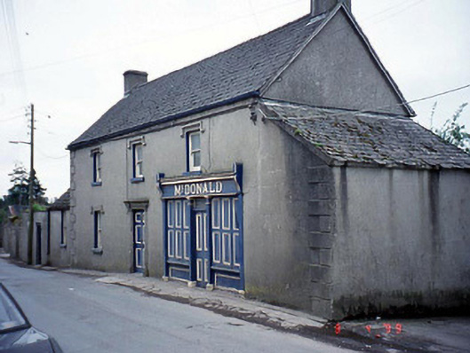 McDonaldhouse · 1211 yd
 Marked as Abbey (site of)Religious house, Augustinian friars · 1343 yd
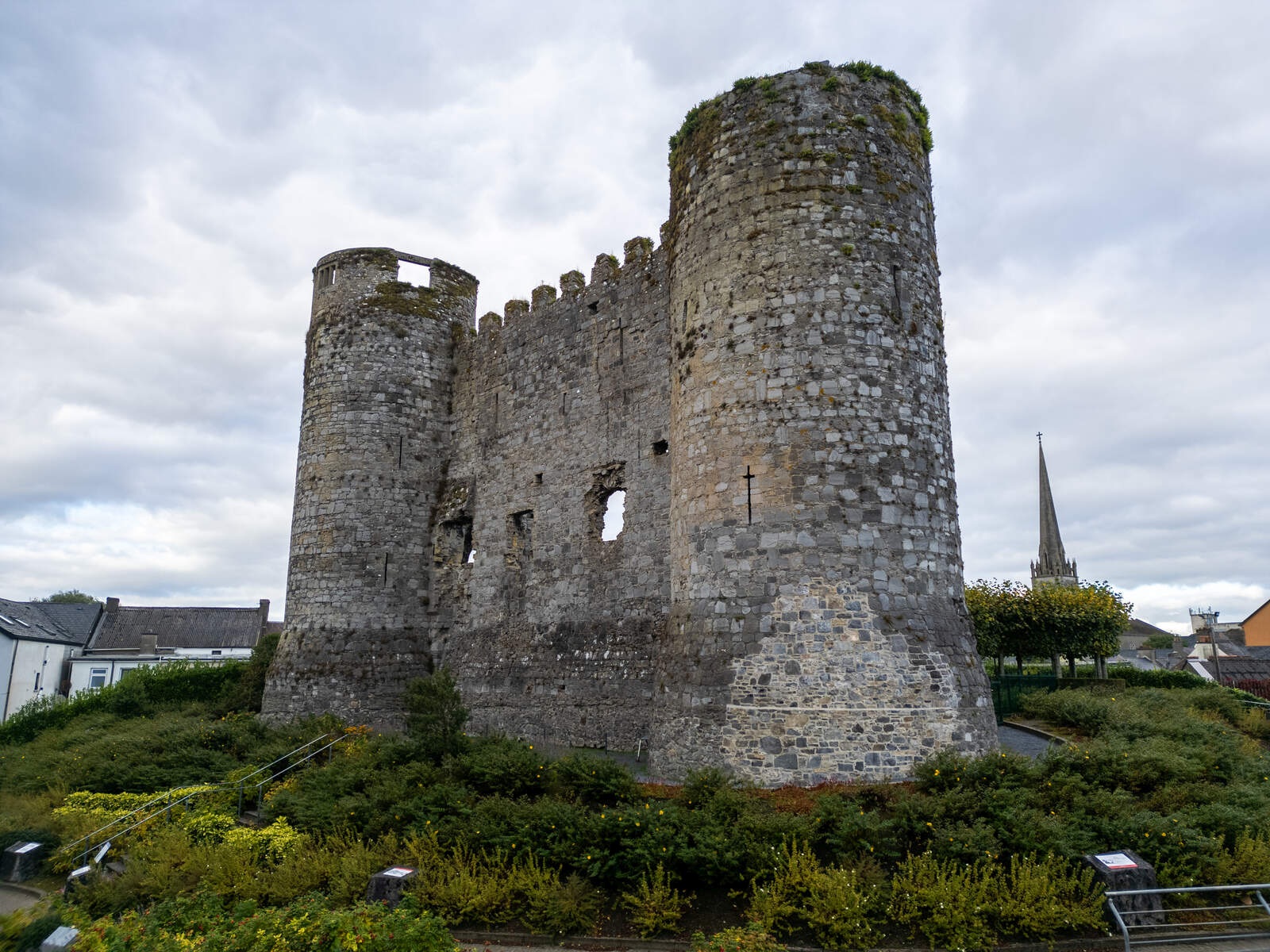 CastleCastle, motte · 1552 yd
 European ashEuropean ash · 2.1 mi
 Rath WoodForest · 2.3 mi
 Coppenagh CastleCastle, tower house · 2.7 mi
 Altamont House and GardensHeritage attraction · 3.9 mi
 Altamont Gardens MapVisitor information · 3.9 mi
 Kilmurry Church (in ruins), GraveyardChurch · 4.3 mi
 Church (in Ruins), GraveyardChurch · 4.6 mi