
What is recorded here
Simon Lumbard and Hugh Talun gave three acres beside the Slaney to Augustinian friars in 1314, creating a working house of chambers, kitchens and a belfry rather than a distant mythical abbey. Queen Anne’s men broke that house open and carried its stones to build a barracks, leaving behind only a graveyard, a well, a crosshead and scattered window fragments. The abbey disappeared into another building, yet the earth kept its shape: water still rises where the friars drank, and broken stone still lies where their hall stood.
According to the Urban Survey of County Carlow (Bradley 1989, 71-2) the friary was ‘founded in 1314 by Simon Lumbard and Hugh Talun and they gave a house and three acres of land in “the village of St John adjoining Tullow” to the friars (Gwynn and Hadcock 1970, 302). In 1542 the buildings are recorded as a church and belfry, a dormitory, hall, three chambers, and kitchen and the friars also held six cottages in Tullow (ibid.) Dinely says that it was located beside the river (Shirley et. al.1858-67, 48) and Ryan (1833, 354) states that it is to be identified within the churchyard (CW008-045005-) immediately south west of the town, where the name “Abbey Well” (CW008-045009-) still survives. There are no surviving remains above ground and Ryan adds that the buildings were taken down in the reign of Queen Anne (1702-1714) to provide materials for building a barracks on the site of the court house (Ryan 1833, 355). All that survives today is a rectangular graveyard, south of the town, on the south side of the Slaney. Within it are an Early Christian crosshead (CW008-045011-), a large bullaun stone (CW008-045015-), and a well. These features suggest that the site is of pre-Norman origin and it seems likely that the Augustinians took over an earlier church’. In 1833 the site of the abbey was described as 'the only remains or rather appendage of the abbey of St. Austin now observable, is the upper part of a stone cross (CW008-045011-) of large dimensions. It is broken from its shaft, and lies on the site of the former abbey,near the bridge, and south of the river. A burial ground is to be found in the same place, but no inscription of the least interest. There is a well here, enclosed by mason work, and a Gothic window, lately erected, and intended to represent part of the ancient abbey. This latter was in bad taste and less propriety; for whatever might be said in palliation of the erection of counterfeit ruins on new sites, nothing can be advanced in apology for the constructing of a spurious, illegitimate piece of imitation on ground where it looks like profane intrusion, and might possibly mislead or deceive future inquirers. Full sure are we, that were St. Austin himself in the flesh, he would not sanction such doings' (Ryan 1833, 534). On the 1657 Down Survey map of Tullow Barony the 'Abby' with 'Tuck Mill' (CW008-045008-) to SE are depicted standing on the S bank of the Slaney River in the area where the present graveyard is located (NLI MS 726). The 'abbey of Tulloebeg' is depicted standing on the S bank of the Slaney River on the 1657 Down Survey parish map of part of Fenagh. The terrier of the Down Survey map of part of Fenagh Parish records that in Tullowbeg were the remains of 'an old abbey & a Tuck Mill' (NLI MS 726).
Present remains consist of the head of a high cross (CW008-045011-) and holy well (CW008-045009-) incorporated into E wall of graveyard (CW008-045005-) 25m N of abbey site as depicted on the current ed. OS 6-inch map (Bradley 1989, 71-2). In the W quadrant of this graveyard are several architectural fragments consisting of window mullions belonging to the destroyed abbey building which can be seen lying on the surface adjacent to the N side of a possible cross base (CW008-045015-).
Compiled and revised by: Claire Breen & Caimin O'Brien
Date of revised upload: 26 September 2014
The monument record does not grant public access. Check the route and ask the landowner before entering private land.
- What survives
- Recorded monument
Places near here
 CrossCross, High cross (present location) · 30 yd
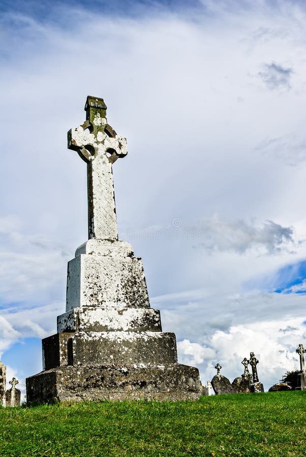 Cross in TullowbegCross · 53 yd
 Slaney Bridgebridge · 136 yd
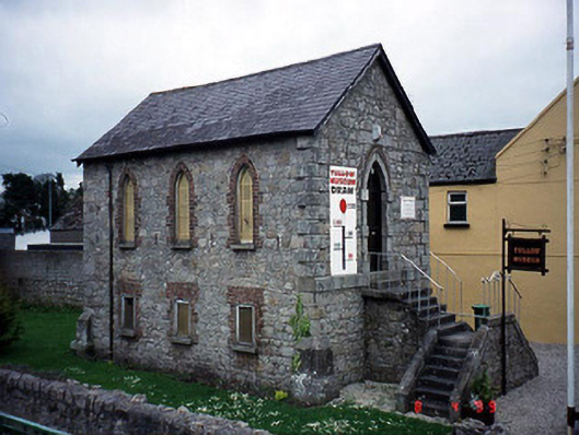 Tullow Methodist Churchchurch/chapel · 161 yd
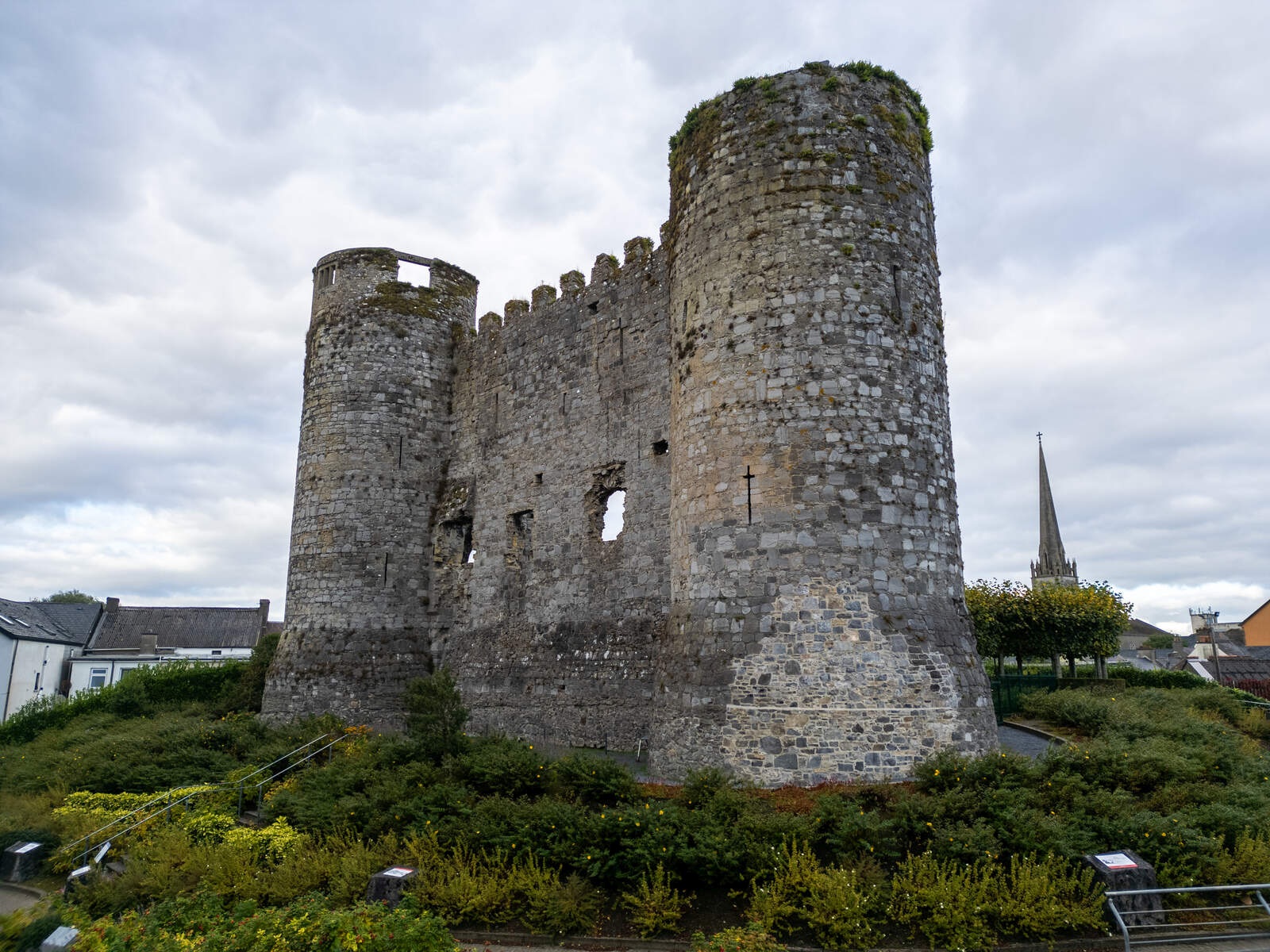 CastleCastle, motte · 441 yd
 European ashEuropean ash · 1.5 mi
 Coppenagh CastleCastle, tower house · 2.0 mi
 Rath WoodForest · 2.8 mi
 Kilmurry Church (in ruins), GraveyardChurch · 4.0 mi
 Acaun Church (in ruins), GraveyardChurch · 4.5 mi
 Altamont House and GardensHeritage attraction · 4.6 mi
 Altamont Gardens MapVisitor information · 4.6 mi
Other information
Photo: Credit not shown in the picture search · Rights wording not checked; contact us if this picture should be removed