
What is recorded here
The conical shaped flat-topped mound was known as the Thingmount/Thingmote or Thingmot was possibly constructed by the Dublin Vikings for holding assemblies was located at the eastern end of Dame Street and to the N of St Andrew's Church (DU018-020072-) and graveyard (DU018-020072-) on Suffolk Street (Little 1953, 66). This was a conical hill (H c. 12.6m) (Somerville-Large 1996, 102-3). Clarke (2002, 3) stated that the; 'Open air assembly places were a standard feature of major Scandinavian settlements and settled areas in the Viking period. Old Norse haugr (plural haugar), 'burial mound', is believed to lie behind the medieval name Hogges (later Hoggen) Green, which had continued to be a public space'. Gilbert (1854-9, Vol. 3, 318) recorded that; '"Church-street," subsequently styled St. Andrew's-street, but more popularly known as Hog Hill" '.
According to Wheeler and Craig (1948, 9); ' The church [DU018-020072-] [on Suffolk St.] was built 1670-74: it was 'round' (elliptical) in form, and the architect was William Dodson. It stood almost on the site of the present church, near the Danish Thingmote or assembly mound, which was not levelled till 1685'. A late 17th-century sketch plan of the street to the N of St. Andrew's Church shows the location of the Thingmote which was described on the plan as 'A Mount or hill Lett by ye Citty to Sr: Wm. Davis Lord Cheife Justice of Ireland' (NLI M27/1; https://catalogue.nli.ie/Record/vtls000540180). The text beneath the sketch plan reads; 'The above Plott is a Survey taken of the Mount neer St. Andrews Church, pursuant to an order from ye Rt. Honbl. the Lrd: Major, the Sheriffs Comons and Cittizens of the City of Dublin' Jo Greene Citt Survyr'. The surveyor's signature of John Greene, who was Dublin's first City Surveyor who was appointed in 1679. The two main survey subjects are the site of St Andrew's Church, and the "mount or hill" in the centre. The hill was likely the 10th century Viking "Thingmount" (Thingmote); a conical mound which was an assembly point for the city's original Norse inhabitants. This survey is likely from 1682, not long before William Davies had the site levelled in order to develop the area. St. Andrew's Church (DU018-020072-) was referred to in old documents as 'Parochia Sancti Andrea de Thengmothe' or "Thengmotha in parochia S. Andrea Thengmoth' (Little 1953, 123).
The levelling of the mound was described as follows; 'In the year 1688, a most interesting monument of antiquity in Dublin was demolished to make way for City improvements. The old Danish Thingmote, or Parliament Hill, an artificial mound some forty feet high [12m], that stood on the spot now partially occupied by the new Ulster Bank, and not a hundred yards from the Provost's House, was levelled with the ground. And the earth of the old mound, as it was removed, was carted away and thrown down in front of a poor street, St. Patrick's Well Lane, facing the dreary and neglected expanse of waste land that is now the College Park. The College authorities soon afterwards built a high brick wall on the boundary between the City and the College property; and the level of the street, in consequence of the immense accumulation of added soil from the Thingmote, was left, as it now is, some six feet higher than that of the College land which adjoins it' (Anon. 1892, 227).
Anon. 1892 The Book of Trinity College Dublin, 1591-1891.
Little, G. 1953 The Thingmote. Dublin Historical Record, Vol. 13, 66-71
NLI M27/1 National Library of Ireland, Dublin hand drawn survey, St. Andrew's Church. Mason Photographic Collection.
See attached sketch plan courtesy of the National Library of Ireland
Compiled by: Caimin O'Brien
Date of upload: 27 July 2023
A conical, flat-topped Viking Age assembly mound, possibly used for Thing (court or council) meetings, associated with early Dublin. Its significance lies in its potential role as a political and legal site in the Norse settlement.
The monument record does not grant public access. Check the route and ask the landowner before entering private land.
- What survives
- Recorded monument
Places near here
 Thomas Osborne DavisMonument · 49 yd
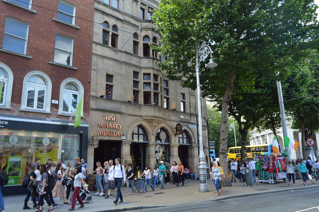 Irish Whiskey MuseumMuseum · 62 yd
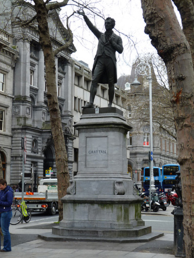 Henry Grattan Monumentmonument · 66 yd
 church/chapelchurch/chapel · 68 yd
 Illusion Museum DublinMuseum · 117 yd
 Fireman John KiteMemorial · 119 yd
 Hall of HonourMemorial · 197 yd
 College in Unknown TownlandCollege · 204 yd
 Bigleaf MapleBigleaf Maple · 265 yd
 Oriental planeOriental plane · 384 yd
 Battle of DublinMajor battlefield · 442 yd
 CastleCastle, Anglo-Norman masonry castle · 531 yd
Other information
Photo: Credit not shown in the picture search · Rights wording not checked; contact us if this picture should be removed