What is recorded here
Roscommon's first cathedral still stands beside that unknown townland, but the graveyard has vanished from human memory. Rocque's 1756 map drew it north of St John's Church, yet no gate, stone or path remains for anyone to point at. What died there may have been kings, missionaries or ordinary people whose names never entered a book. The land keeps what memory lost.
Graveyard of St John’s medieval Parish Church (DU018-020077-) which is annotated 'G. Yd. (Dis.)' on the 25-inch OSi map. Graveyard belonging to the medieval parish church of St. John the Evangelist is depicted on Rocque's 1756 Map of Dublin City.
See attached Rocque's Map showing the church and the graveyard to the N of St. John's Church
Compiled by: Caimin O'Brien
Date of upload: 30 June 2023
Medieval Christian graveyard, associated with a parish church dedicated to St John the Evangelist. Its significance lies in its historical and ecclesiastical connection to the medieval parish and as a potential repository of early Christian burials and monuments.
The monument record does not grant public access. Check the route and ask the landowner before entering private land.
- What survives
- Recorded monument
Places near here
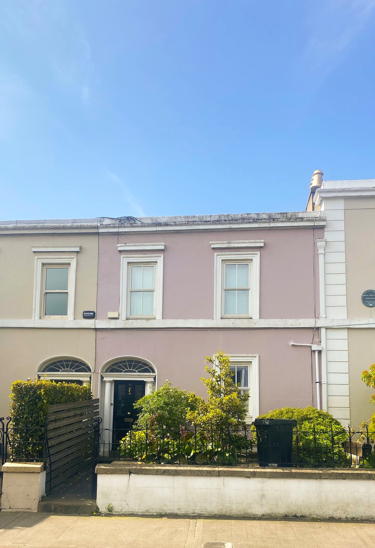 Ecclesiastical residence in Unknown TownlandEcclesiastical residence · 28 yd
 Christ Church Cathedralcathedral · 37 yd
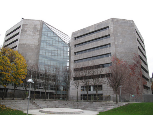 Dublin City Counciloffice · 41 yd
 IndicatedCathedral · 56 yd
 Newcomen BankVisitor information · 211 yd
 Saint Audoen's GateHeritage attraction · 239 yd
 St Audoen’s ChurchMuseum · 247 yd
 CastleCastle, Anglo-Norman masonry castle · 247 yd
 St. Michael's le Pale Church YardMemorial · 325 yd
 Medieval DublinVisitor information · 334 yd
 Gairdín Súgartha i gCuimhne ar na Páistí a Cailleadh in 1916Memorial · 345 yd
 European PearEuropean Pear · 956 yd