
What is recorded here
In the SE corner of a pasture field, in an area of undulating grassland interspersed with expanses of bog. There are farm sheds and a farmyard immediately to S. This possible mound appears as a low roughly kidney-shaped rise (c. 12m NE–SW; c. 15m NW-SE) with a narrow flattish area on top and broadly sloping sides.…
Read the whole record
From the National Monuments Service (Archaeological Survey of Ireland) record MA029-058002
Places near here
Photo credits
- Maker not stated on source page, www.tripadvisor.com.ph
- Maker not stated on source page, www.dreamstime.com
- Maker not stated on source page, www.alamy.com
- National Inventory of Architectural Heritage
- Kmcnamee, Wikimedia Commons · CC BY-SA 4.0
- Maker not stated on source page, www.joinmychurch.com
- Maker not stated on source page, tk.advisor.travel
- jeremy durrance, Geograph · CC BY-SA 2.0
- Maker not stated on source page, en.wikipedia.org
 Church in DrumnanangleChurch · 1298 yd
Explorer Tom Church in Drumnanangle is famous for a ridiculous smuggling story where they hid cheese inside a statue of the Virgin…
 Killeennashask Church (in Ruins)Church · 1738 yd
Explorer Tom Killeennashask Church is surviving zombie attacks by staying quiet. It's tucked on an escarpment, watching the river…
 Graveyard in KilleennashaskGraveyard · 1748 yd
Explorer Tom Graveyard in Killeennashask inspired a terrible poem about moss and sorrow that everyone pretended to like. The…
 GreenwoodWalled garden · 1.0 mi
Explorer Tom Greenwood in Greenwoodpark is a walled garden that has clearly taken its name seriously and decided to go all-in on the…
 Fr Gilroy Memorial Park, Moygownagh GAAGAA ground · 1.2 mi
 Church in KnockaculleenChurch · 1.3 mi
Explorer Tom Church in Knockaculleen claims to be older than the hills, which is a bold lie. It’s definitely been there longer than…
 Bullaun stone in KnockaculleenBullaun stone · 1.3 mi
Explorer Tom Bullaun stone in Knockaculleen is so buried that Vikings got lost looking for it. It’s half-swallowed by the earth…
 bridge1.4 mi
Explorer Tom Garrynagran Bridge is the scene of a feud between two families over who owns the best view from the road. It was barely…
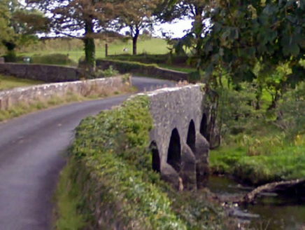 Ballintober BridgeBridge · 1.4 mi
Explorer Tom Ballintober Bridge in Mayo crosses the Owenmore River with an elegance that makes me want to slow down. The sheer…
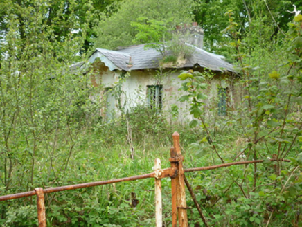 OwenmoreGate lodge · 1.5 mi
Explorer Tom Owenmore gate lodge was designed by a mother-in-law with a ruler. Every inch is perfectly symmetrical and slightly…
 Earthwork in Carn (tirawley By., Moygawnagh. Par.)Earthwork · 1.5 mi
Explorer Tom Earthwork in Carn is the quiet uncle at the wedding who stands by the buffet table judging everyone’s food choices…
Kilfian, Kilfian GAAGAA ground · 3.3 miMore archaeology and monuments in County Mayo · All of County Mayo

What do you know about this place?Tap to add a comment or ask a question