What is recorded here
Situated on the highest point of the shoulder of a hill that rises to the NE with good views to the NW to Croghan Moira and the SW to Croghan Kinsella. A grass covered mound (diam. 15m; H 0.6m) composed primarily of earth but some stone also visible. A field boundary (running NW-SE) skirts the SW edge of the mound.
Compiled by: Chris Corlett and Claire Breen
Date of upload: 06 March 2013
A Neolithic burial mound, likely dating to the Early to Middle Bronze Age, situated in a prominent landscape position suggesting ritual or ceremonial significance. Its location offers strategic visibility between two prominent Croghan hills, potentially indicating a role in ancient territorial or spiritual networks.
The monument record does not grant public access. Check the route and ask the landowner before entering private land.
- What survives
- Recorded monument
Places near here
 TobernaclaChurch · 443 yd
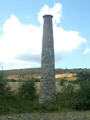 Avoca Copper and Sulphur Minesmine/pit · 741 yd
 Enclosure in CherrymountEnclosure · 743 yd
 Enclosure in Tigroney EastEnclosure · 799 yd
 Meeting of the WatersHeritage attraction · 1.2 mi
 Site of CastleCastle, unclassified · 1.6 mi
 Silver FirSilver Fir · 2.3 mi
 Sweet ChestnutSweet Chestnut · 2.6 mi
 Viewing TowerHeritage attraction · 2.7 mi
 Woodenbridge World War One MemorialMemorial · 3.0 mi
 Wicklow 400Memorial · 3.9 mi
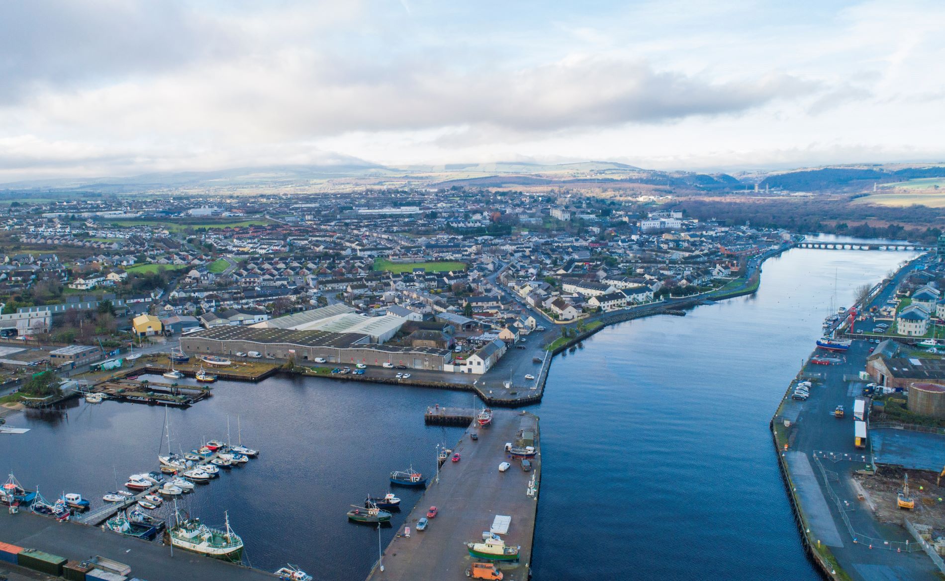 Site of Phelims CastleCastle, tower house · 5.7 mi