
What is recorded here
Situated on a natural level step on a marked S/SW-facing slope. Shown on the 1838 OS 6-inch map as a small enclosure (max. diam. c. 25m). The site is not visible at ground level and there is no local memory of the site.
The above description is derived from the published 'Archaeological Inventory of County Wicklow' (Dublin: Stationery Office, 1997). In certain instances the entries have been revised and updated in the light of recent research.
Date of upload/revision: 17 December 2008
The monument record does not grant public access. Check the route and ask the landowner before entering private land.
- What survives
- Recorded monument
Places near here
 TobernaclaChurch · 469 yd
 Enclosure in Tigroney EastEnclosure · 1042 yd
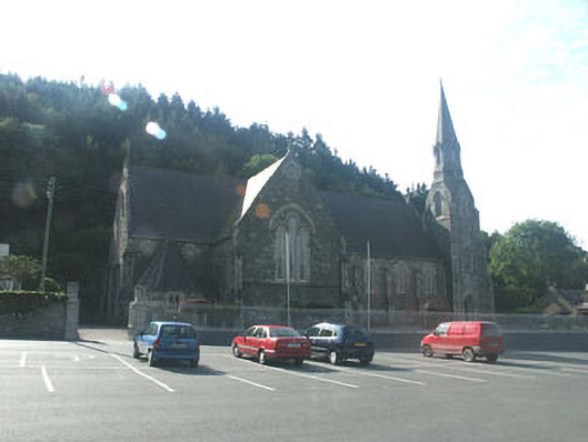 Catholic Church of Saint Mary and Saint Patrickchurch/chapel · 1045 yd
 Enclosure in Knockanree LowerEnclosure · 1135 yd
 Site of CastleCastle, unclassified · 1.2 mi
 Meeting of the WatersHeritage attraction · 1.4 mi
 Sweet ChestnutSweet Chestnut · 2.1 mi
 Scots PineScots Pine · 2.3 mi
 Woodenbridge World War One MemorialMemorial · 2.6 mi
 Viewing TowerHeritage attraction · 3.1 mi
 Wicklow 400Memorial · 4.3 mi
 (Site of) CastleCastle, unclassified · 5.0 mi
Other information
Photo: Credit not shown in the picture search · Rights wording not checked; contact us if this picture should be removed