
What is recorded here
Situated in a natural hollow with a steep downhill slope (to the Avoca river) immediately to the W of the site. No visible trace of the church site mentioned by Price (1967, 467), said to have been founded here by Palladius. A holy well (Tobernacla, WI035-030002-), which is marked on both editions of the OS 6-inch map is located in nearby rock outcrop.
The above description is derived from the published 'Archaeological Inventory of County Wicklow' (Dublin: Stationery Office, 1997). In certain instances the entries have been revised and updated in the light of recent research.
Date of upload/revision: 17 December 2008
This remains an important historical record, but the official description says the monument is no longer visible or has been destroyed. The monument record does not grant public access. Check the route and ask the landowner before entering private land.
- What survives
- No visible remains or recorded as destroyed
Places near here
 Enclosure in CherrymountEnclosure · 528 yd
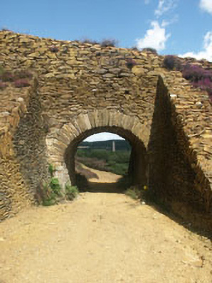 Avoca Copper and Sulphur Minesbuilding misc · 843 yd
 Enclosure in Tigroney EastEnclosure · 1098 yd
 Tigroney Engine HouseRuins · 1128 yd
 Meeting of the WatersHeritage attraction · 1.2 mi
 Site of CastleCastle, unclassified · 1.5 mi
 Sweet ChestnutSweet Chestnut · 2.4 mi
 Silver FirSilver Fir · 2.4 mi
 Viewing TowerHeritage attraction · 2.8 mi
 Woodenbridge World War One MemorialMemorial · 2.8 mi
 Wicklow 400Memorial · 4.1 mi
 (Site of) CastleCastle, unclassified · 4.9 mi
Other information
Photo: Credit not shown in the picture search · Rights wording not checked; contact us if this picture should be removed