What is recorded here
In tillage, on a low rise. Flat-topped, oval mound (dims. on top 4.5m NE-SW; 3m NW-SE) defined by scarp (Wth 6.5m; H 2.8m) NW-NE which is obscured by overgrowth NE-S and WSW-NW. Scarp (Wth 3.3m; H 1.5m) S-WSW levels off (Wth 2m; H 0.2m) and is defined by a steep counterscarp (Wth 0.75m; H 1.1m).
Compiled by: Jean Farrelly
Date of upload: 26 August 2011
The monument record does not grant public access. Check the route and ask the landowner before entering private land.
- What survives
- Recorded monument
Places near here
 CroonacrushaCross · 331 yd
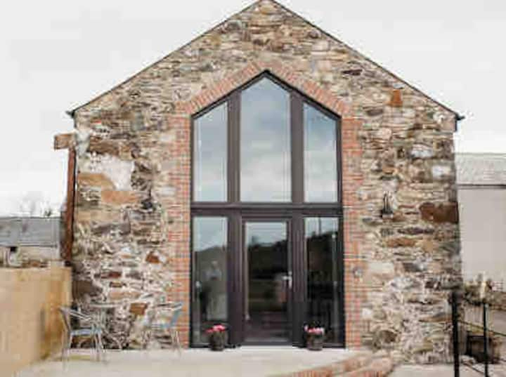 Enclosure in Springmount (relickmurray & Athassel Par.)Enclosure · 356 yd
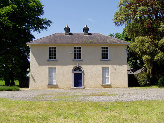 Springmount Househouse · 789 yd
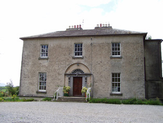 Golden Rectoryrectory/glebe/vicarage/curate's house · 972 yd
 Bawn in CastleparkBawn · 1244 yd
 CastleHouse, fortified house · 1510 yd
 Athassel PrioryHeritage attraction · 1.9 mi
 Dundrum Woods (Marl Bog)Forest · 4.2 mi
 European ashEuropean ash · 4.4 mi
 The Maid of ErinMemorial · 7.2 mi
 The RockViewpoint · 8.0 mi
 SturrakeenMountain / peak · 8.3 mi