What is recorded here
Shown on 1904 OS 6-inch map as hachured oval area (c. 50m NE-SW; c. 30m NW-SE) with smaller oval area (c. 25m NE-SW; c. 10m NW-SE) forming 'tail' at SW end. Area now heavily forested and no archaeological features noted. Probably same site as that described by Windele in 1843 (O'Mahony 1909,214): 'The hillock is about 30 or 40 feet high, of a long oval form,whether artifical or otherwise, we could not determine'. He also noted a flagstone at the summit which, according to local information, led 'to extensive crypts and passages beneath' (ibid.).
The above description is derived from the published 'Archaeological Inventory of County Cork. Volume 3: Mid Cork' (Dublin: Stationery Office, 1997). In certain instances the entries have been revised and updated in the light of recent research.
Date of upload/revision: 14 January 2009
The monument record does not grant public access. Check the route and ask the landowner before entering private land.
- What survives
- Recorded monument
Places near here
 Fulacht fia in Mallow (carbery East (w.d) By.)Fulacht fia · 635 yd
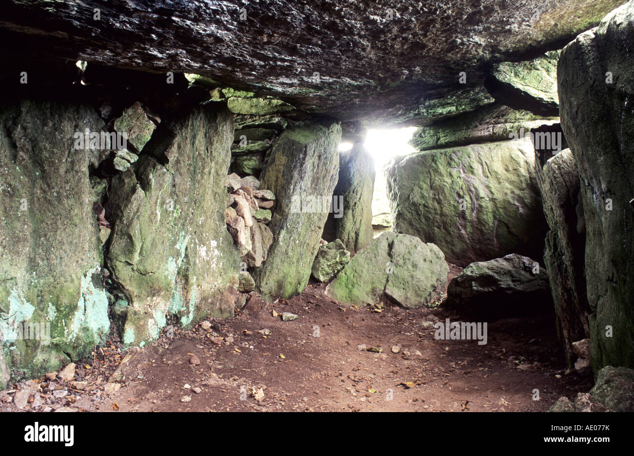 Man-made underground passage in SlieveowenMan-made underground passage · 812 yd
 monumentmonument · 1.8 mi
 Kilmichael Ambush SiteMonument · 2.2 mi
 Kilmichael Ambushambush · 2.2 mi
 Carrigboy Castlehouse · 2.2 mi
 OCrowleys Castle (in Ruins)Castle, tower house · 2.3 mi
 Castle RockNamed rock · 2.8 mi
 Dromcarra Castle (in Ruins)Castle, tower house · 4.1 mi
 Green HillMountain / peak · 4.5 mi
 Irish National Forestry FoundationNature reserve · 4.7 mi
 Summerhouse WoodForest · 5.2 mi
Other information
Photo: Credit not shown in the picture search · Rights wording not checked; contact us if this picture should be removed