What is recorded here
Situated on a low NNW-SSE ridge, c. 60m S of the shoreline. It comprises a low, grassed-over subrectangular mound (4.5m ENE-WSW; 3.6m NNW-SSE; max. H 0.6m) of earth and small and medium sized stones.
Compiled by: Patrick F. O'Donovan
Date of upload: 19 January 2011
The monument record does not grant public access. Check the route and ask the landowner before entering private land.
- What survives
- Recorded monument
Places near here
 IndicatedEnclosure · 577 yd
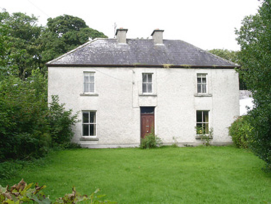 Ashdalehouse · 872 yd
 The Black PigMemorial · 1443 yd
 Enniscrone BeachBeach / strand · 1548 yd
 Enclosure in Bartragh IslandEnclosure · 1600 yd
 Goose IslandIslet · 1.1 mi
 Bartragh Housecountry house · 1.1 mi
 Horse IslandIslet · 1.2 mi
 Rinnachurry PointHeadland · 1.3 mi
 Grave of the Black PigArchaeological place · 1.4 mi
 Ballysakeery CastleCastle, unclassified · 1.5 mi
 Gortabradawn PointHeadland · 1.6 mi